
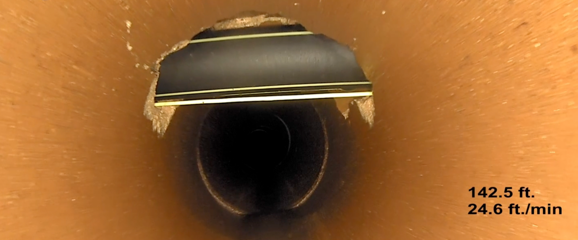
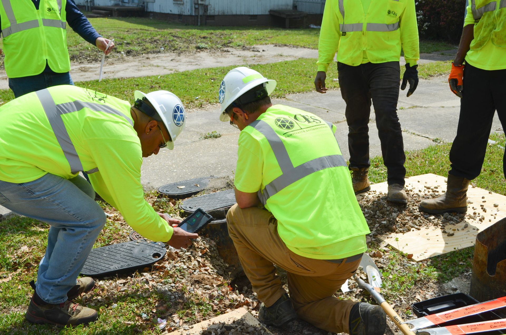
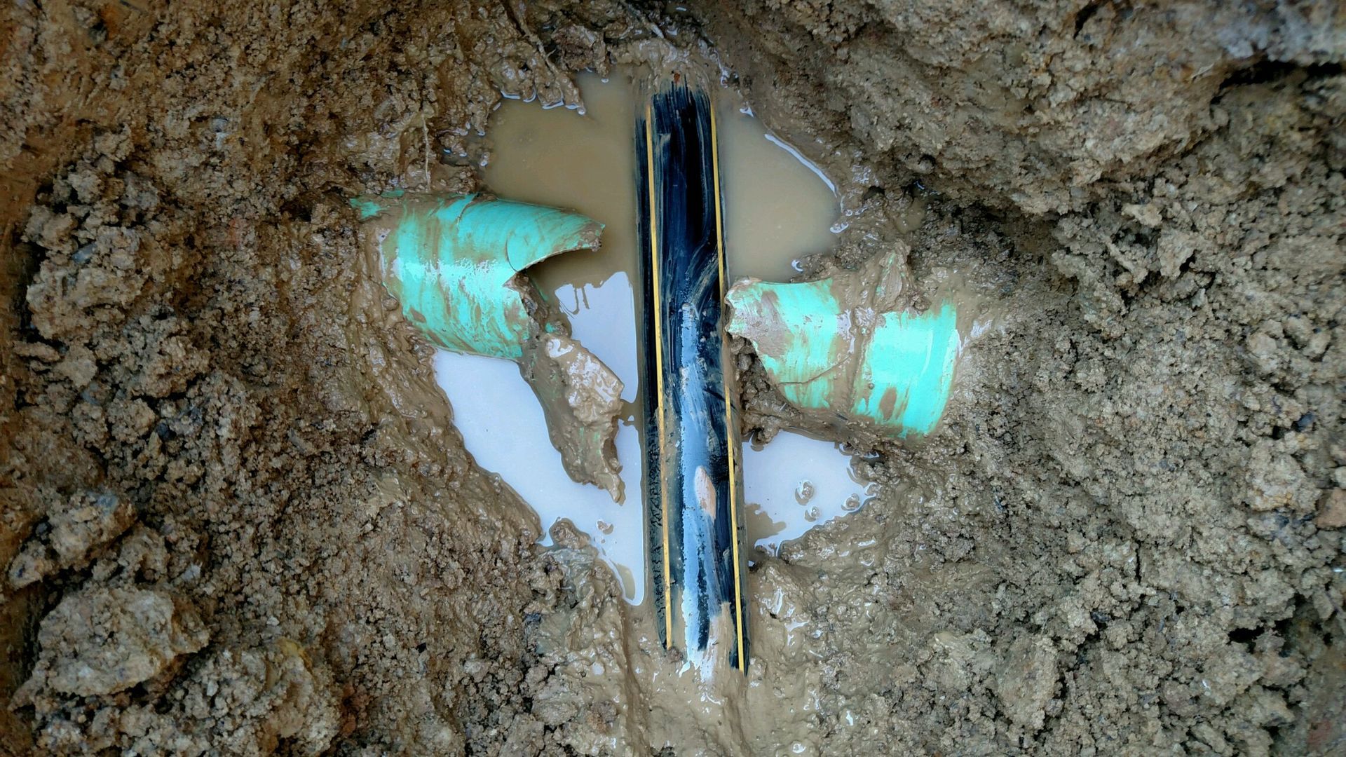
A cross-bore is the accidental intersection of underground utilities. This usually happens when a gas, fiber, or telecom line is bored through an existing sewer or storm drain pipe. These conflicts are hidden underground and of ten lack tracer wires, which makes them difficult to detect. In many cases, they remain unnoticed until routine maintenance or a failure brings them to light and disaster strikes.
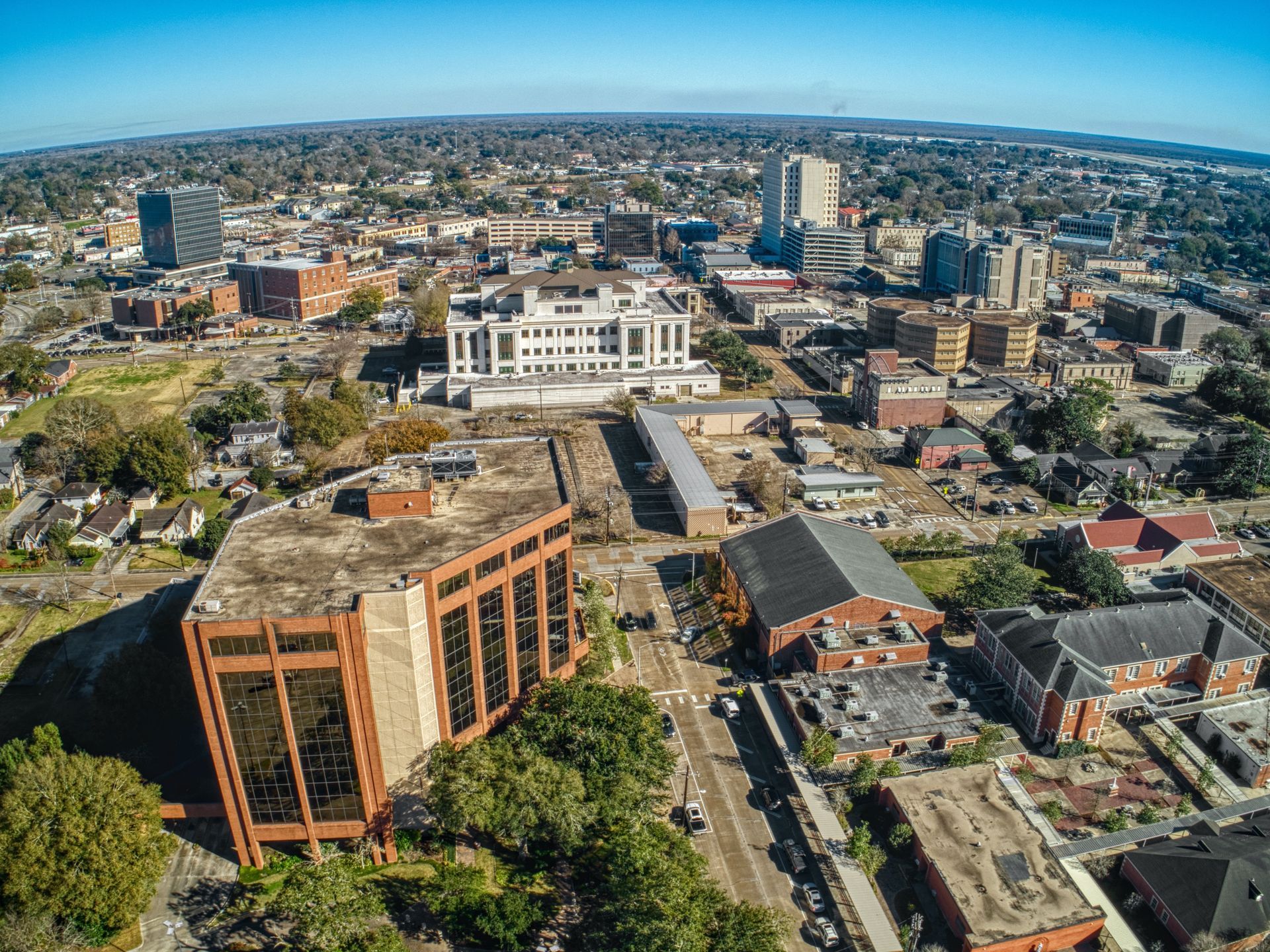
Managing a stormwater system can be challenging because most of the infrastructure is buried and out of sight. Pipes, storm structures, and catch basins can accumulate high levels of debris or develop significant defects without obvious warning signs. Over time, these hidden problems can lead to flooding, road damage, environmental concerns, and expensive emergency repairs.
Have you noticed persistent standing water after it rains, slow drainage, foul odors, or visible debris accumulating inside or around your system’s catch basins? These issues are often tell-tale signs that your stormwater structures need attention.
Have you noticed unexpected flow spikes after it rains, manholes overflowing, or capacity issues with your sewer or stormwater system?

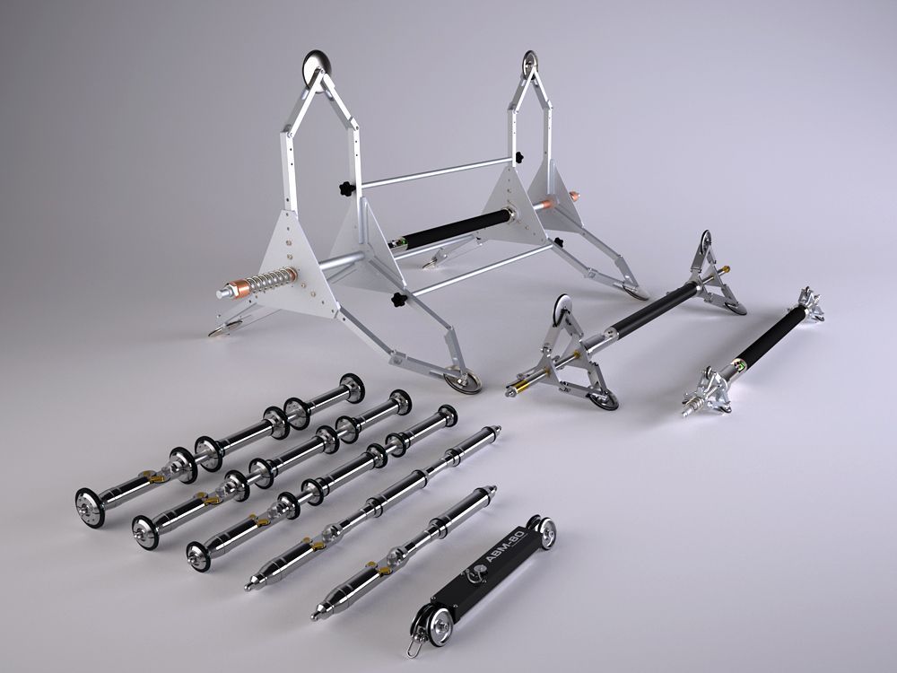
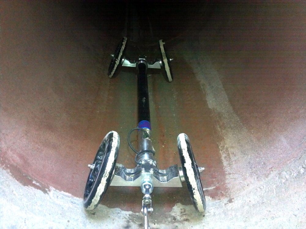
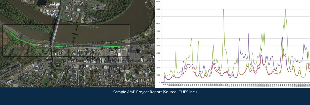
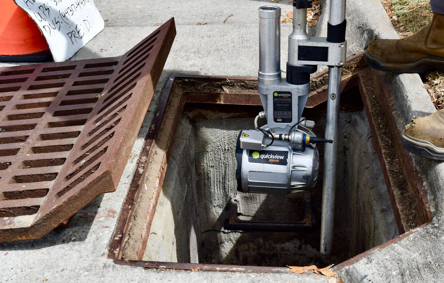
Do you notice persistent odors, high-flow levels, or signs of structural wear in your sanitary sewer or stormwater system? These issues often indicate the need for a more thorough inspection of your system, particularly concerning large-diameter pipes. Traditional inspection methods can leave large portions of pipes unexamined, especially in high-flow or large-diameter scenarios. At Compliance EnviroSystems (CES), we use a smarter inspection technique to ensure systems are operating at full capacity: Sonar and Multi-Sensor Inspections.

Common challenges for municipalities, engineers, and utility providers are undetected leaks and inflows that overwhelm the sewer system. When you don’t know where Inflow and Infiltration (I/I) comes from or what is causing your system’s issues, you often end up spending more money than is necessary to fix it. At Compliance EnviroSystems (CES), we provide a smarter, quicker, and more cost-effective solution: Smoke Testing.

On August 29, 2005, Hurricane Katrina struck the Gulf Coast, causing substantial devastation across South Louisiana and Mississippi. Levee failures flooded New Orleans, thousands of lives were lost, and entire communities were forever changed. For those of us who call Louisiana home, Katrina is not just a moment in history. It’s personal.
On October 8th 2024, the EPA issued a final rule requiring drinking water systems across the country to identify and replace lead pipes within 10 years.
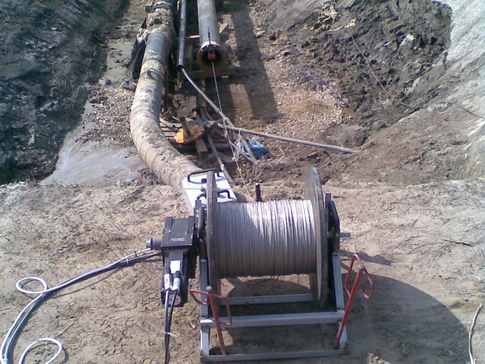
Since the 1970s, gas utilities and contractors have utilized trenchless technologies such as moles, plows and Horizontal Directional Drilling (HDD) to install natural gas pipelines across the United States.