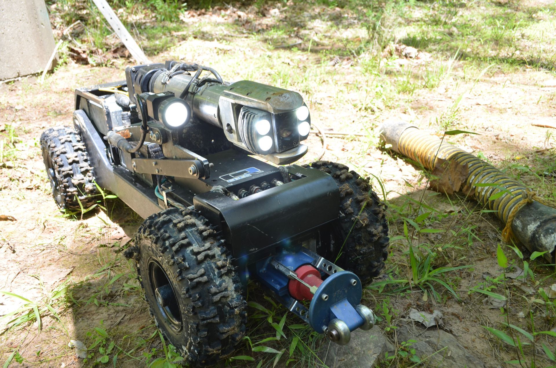
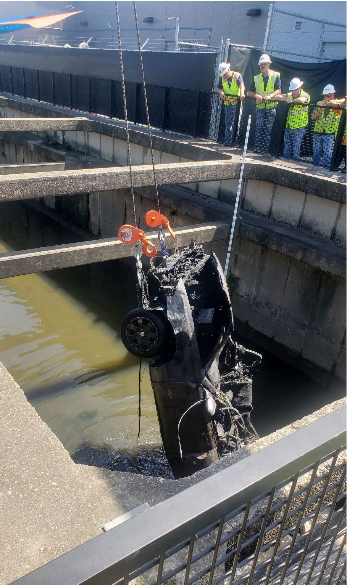
Our team can build maps from scratch or update existing ones throughout our investigative studies. Using advanced inspection methods, we create comprehensive maps that include service recommendations, status updates, and in-depth analyses, providing vital tools for managing your sewer infrastructure.
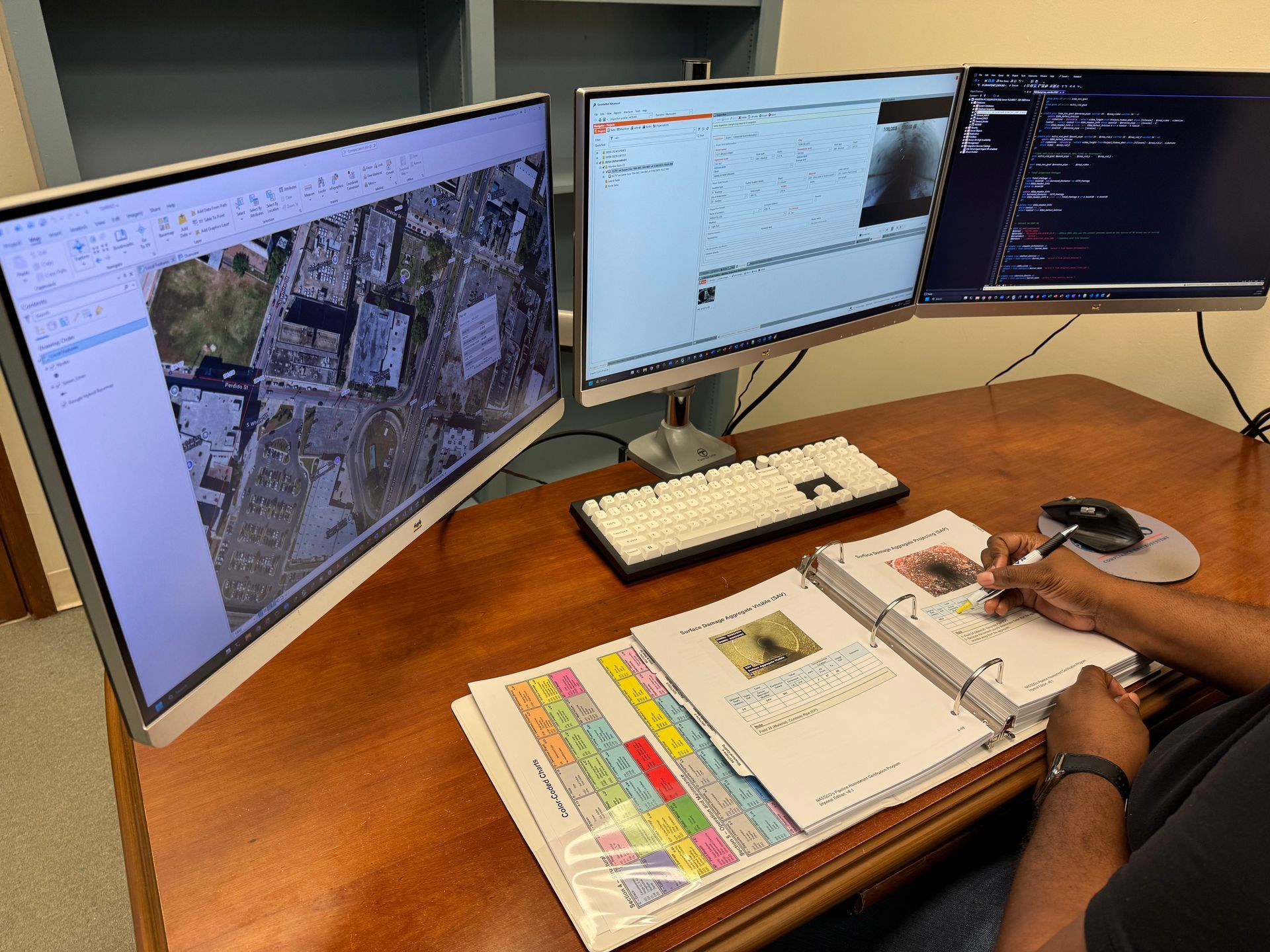
Geographic information systems (GIS) can be used for sewer and wastewater management in many ways, including mapping, modeling, and data management.
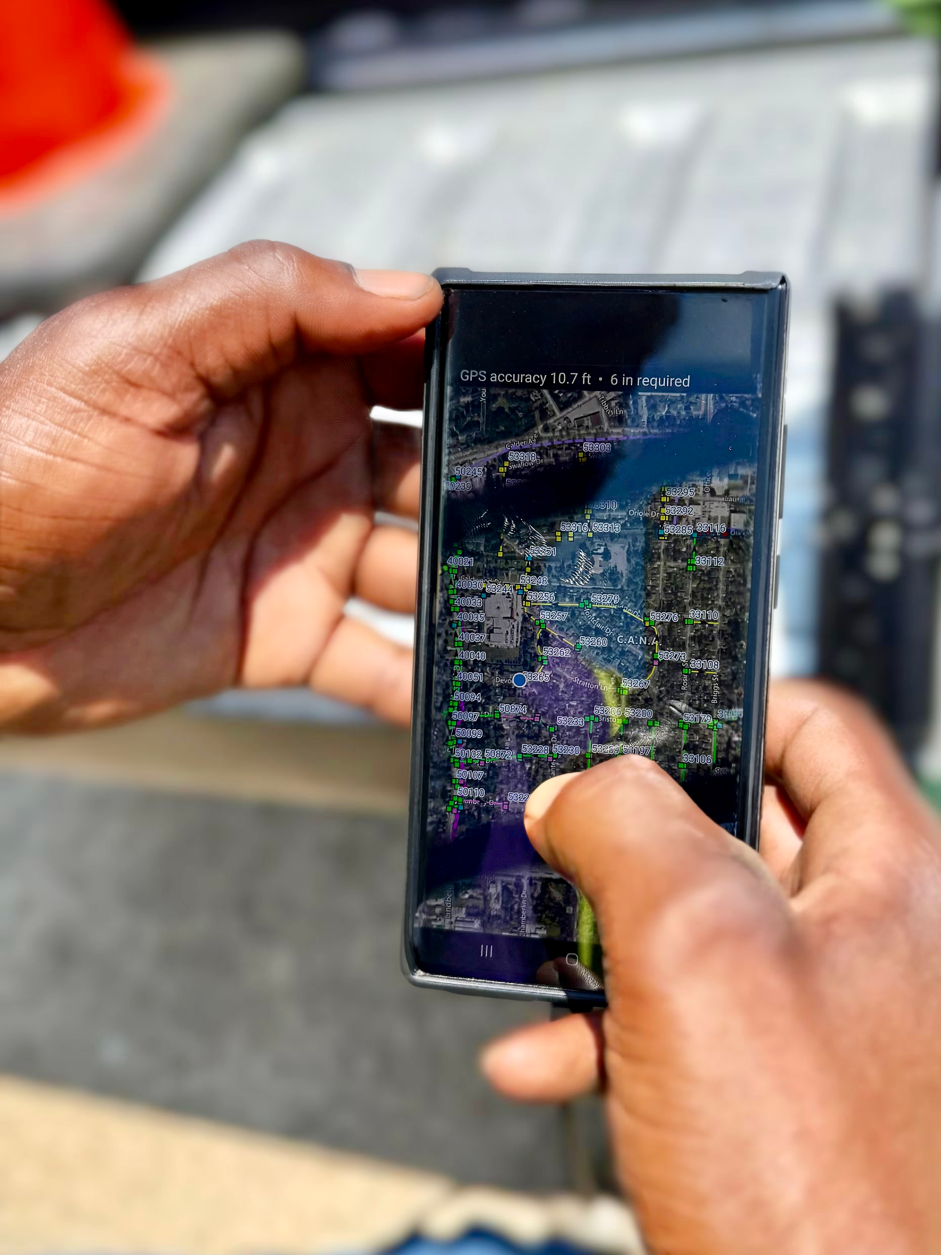
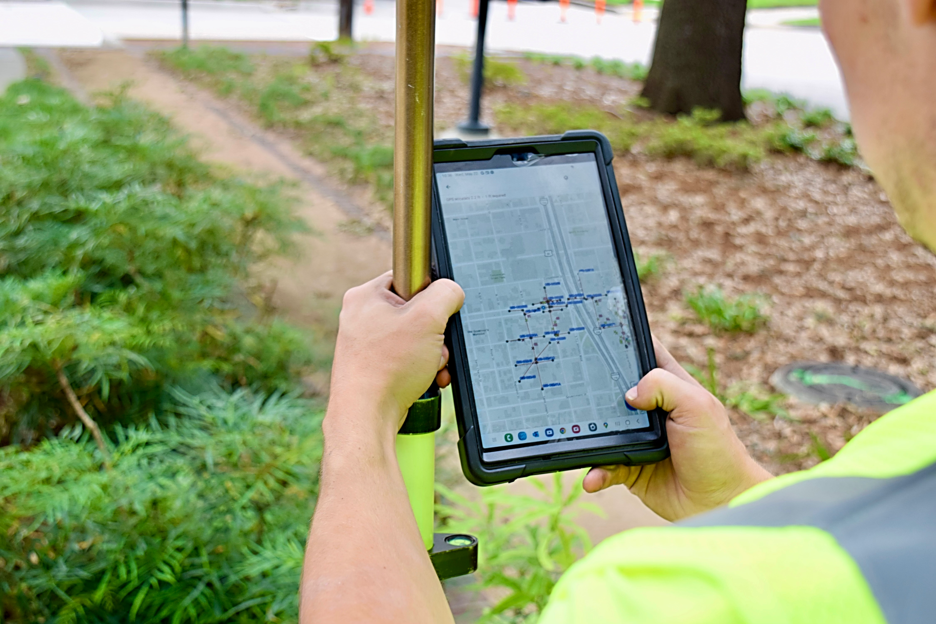
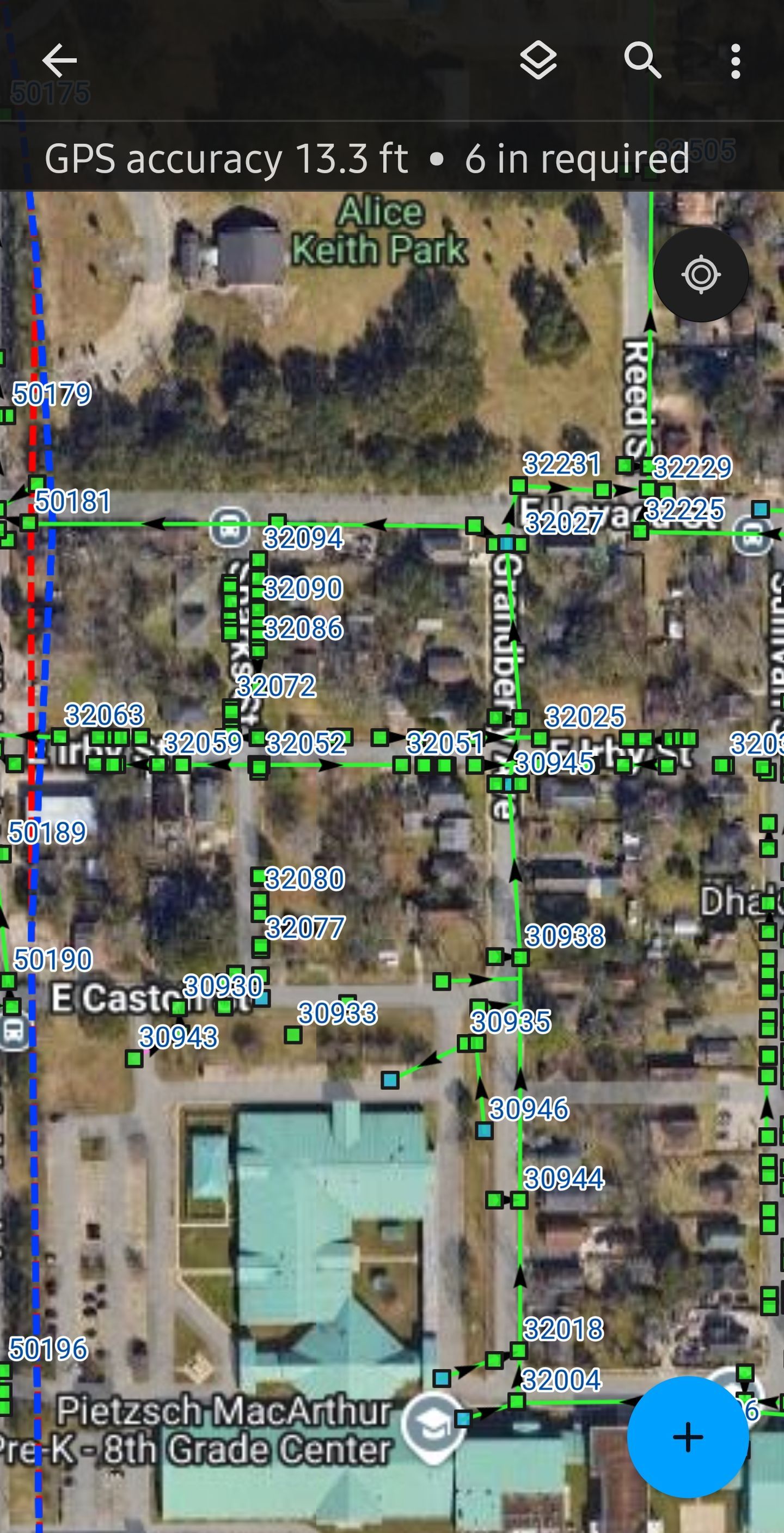
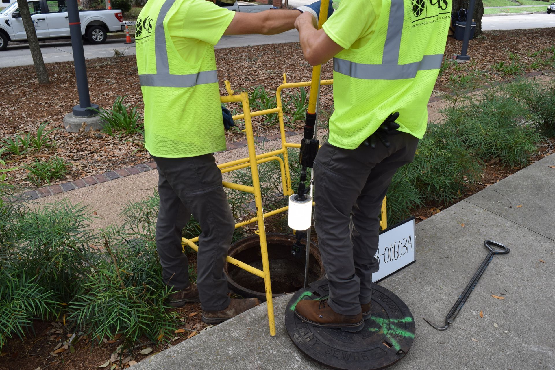
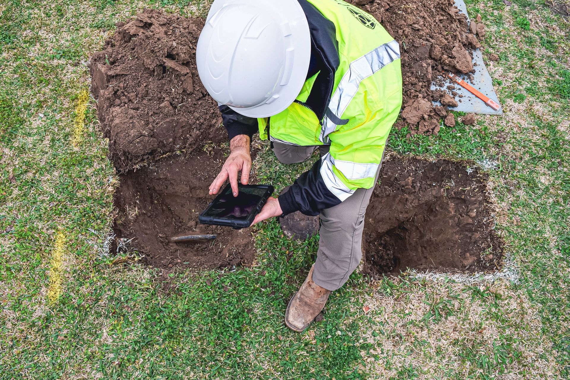
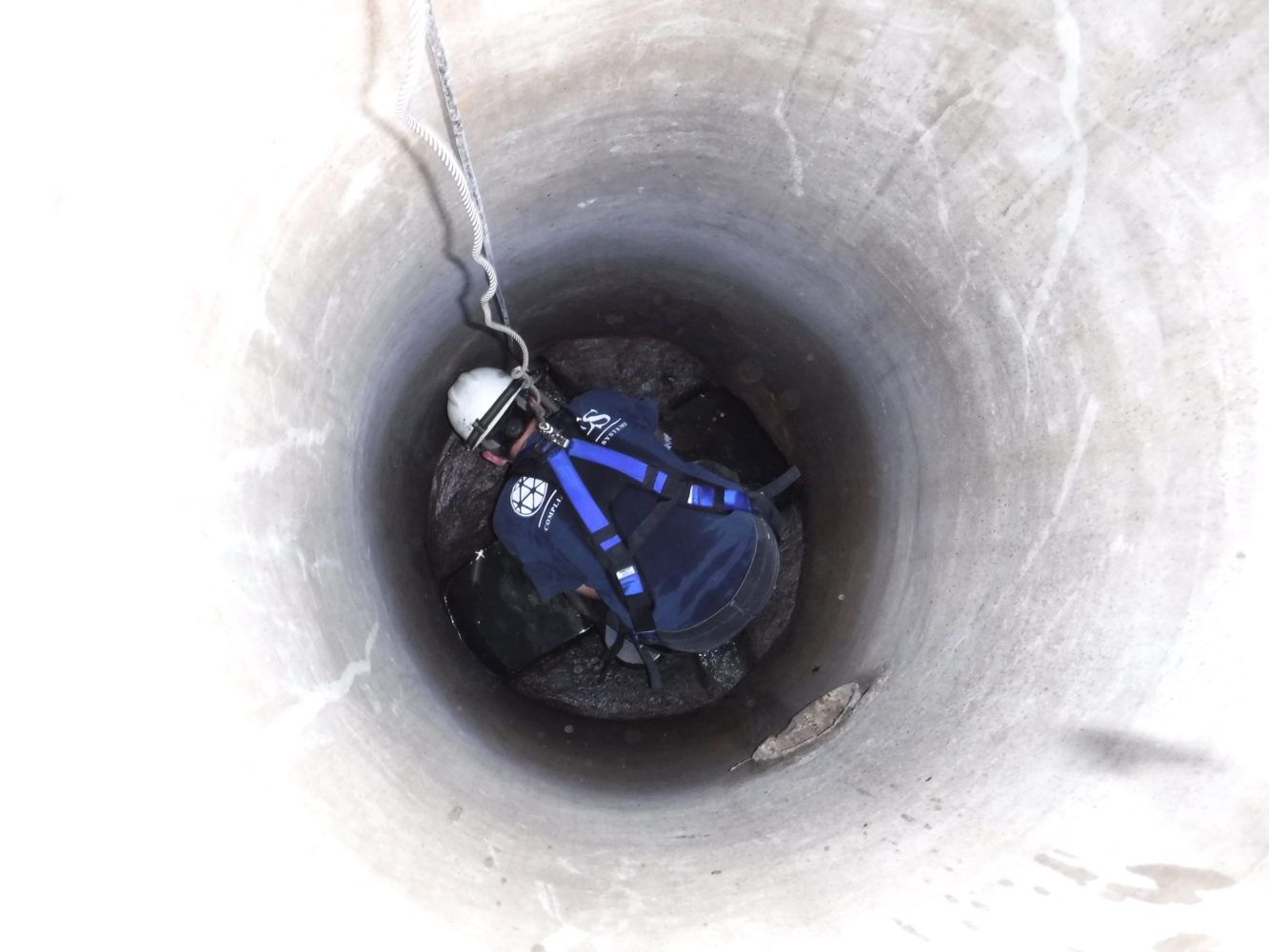
GPS data collection provides key information for use during manhole inspections. The data collected reveals general inventory information for manholes in the system. CES can take GPS readings at sub-meter, decimeter, and centimeter accuracy levels for manholes or other points identified while inspecting a sewer system.
Customized GIS Solutions
At CES, we also take a triage approach to sewer system management, which we believe is highly effective for creating a full inventory while enabling clients to use their maintenance and rehabilitation funds efficiently.
This approach involves mapping out the system and conducting a quick assessment of conditions to determine which assets need cleaning to increase capacity and improve flow conditions. From these assessments, we generate a prioritized list of lines and structures that require cleaning, ranked by the capacity lost through debris levels and blockages.
This helps clients allocate resources efficiently and focus on the areas that will have the greatest impact. Additionally, our assessments allow us to recommend and prioritize necessary repairs.
GIS has become the industry standard for managing sewer and water systems.
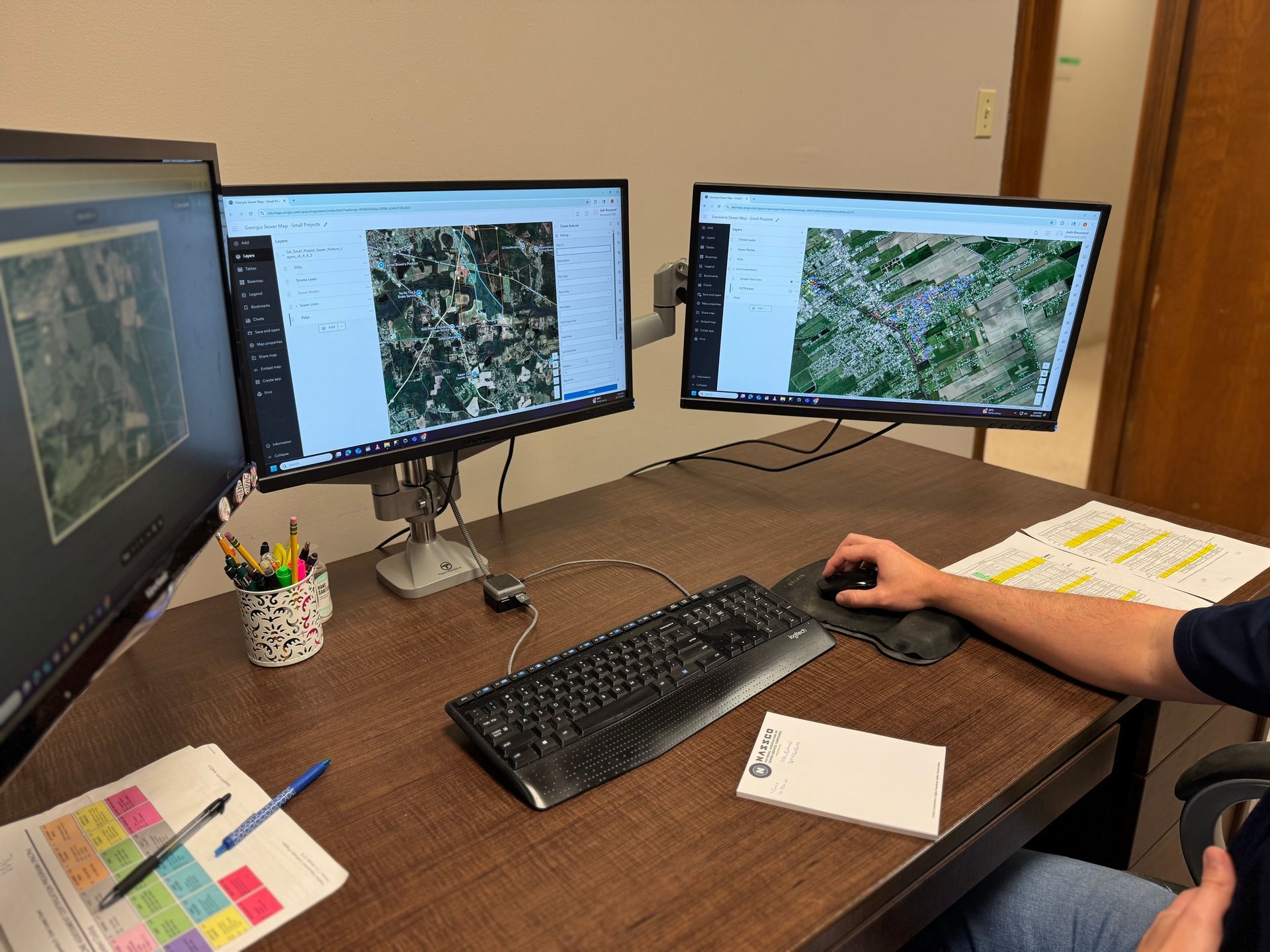
For municipalities new to GIS technology, we use internet-connected GIS applications to collect data and create online maps of their sewer and storm drain assets, allowing them to follow our progress in real time. Once completed, these maps can be maintained online for ongoing work or transferred to the client in a format that best suits their needs.
For clients with existing GIS systems, we verify and update your data based on real-world conditions, delivering it per your specifications.
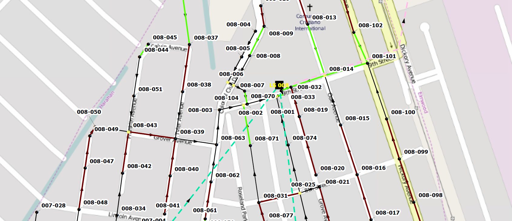
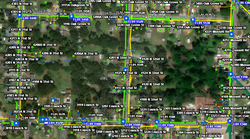
We provide customized maps that show each asset’s status, inspection findings, and service recommendations, including visualizations for:
- Sewer asset locations
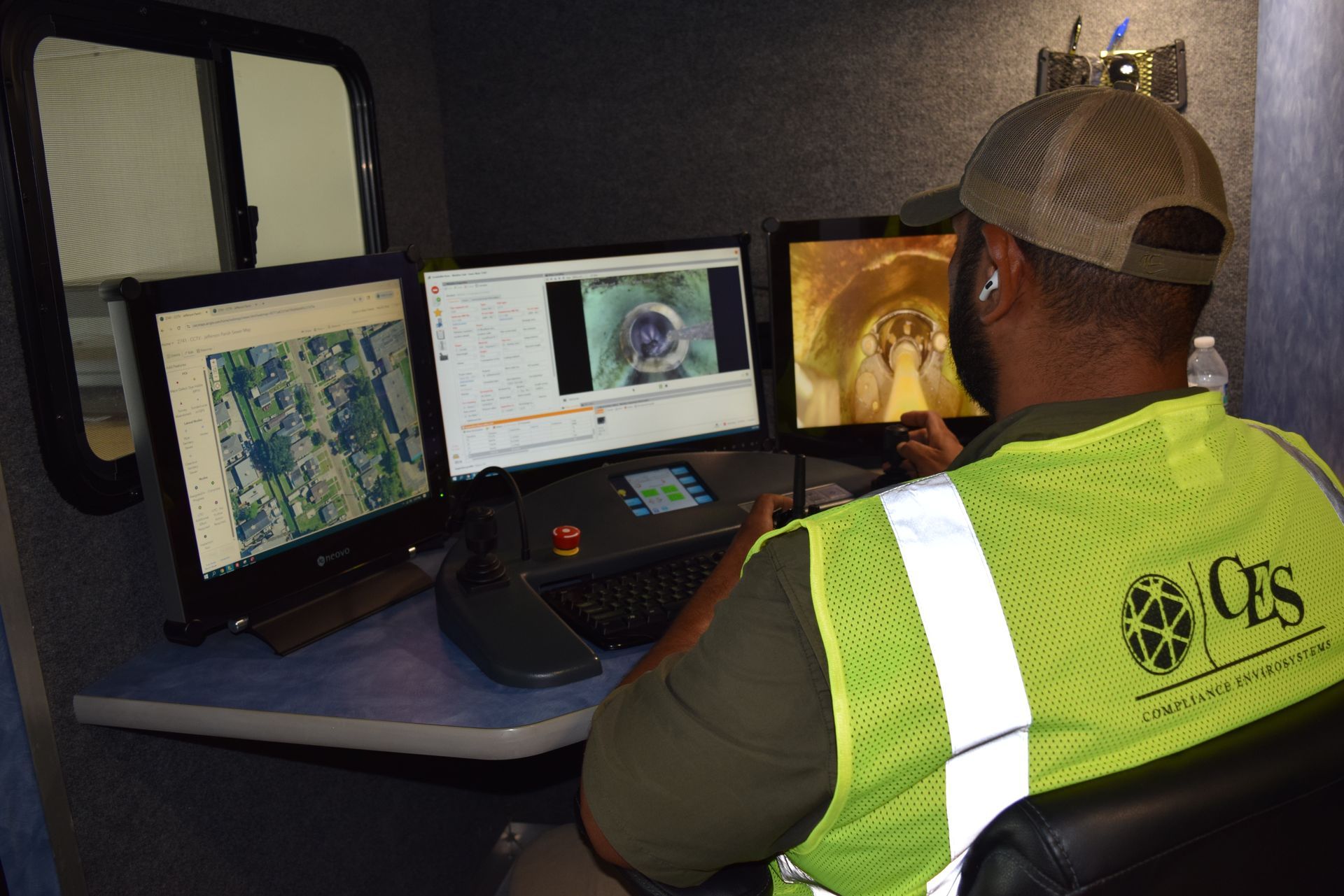
- CCTV inspection data and tracking
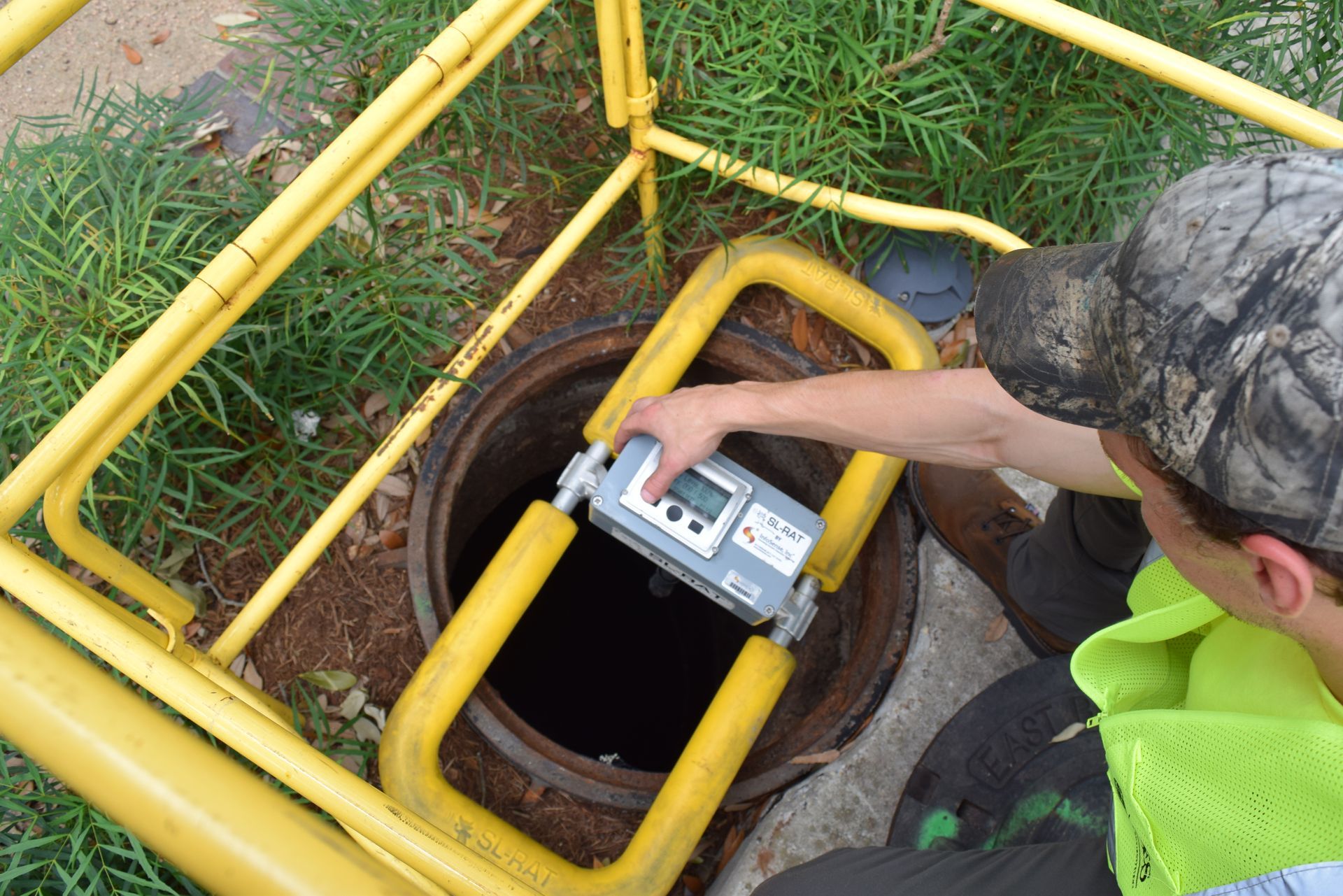
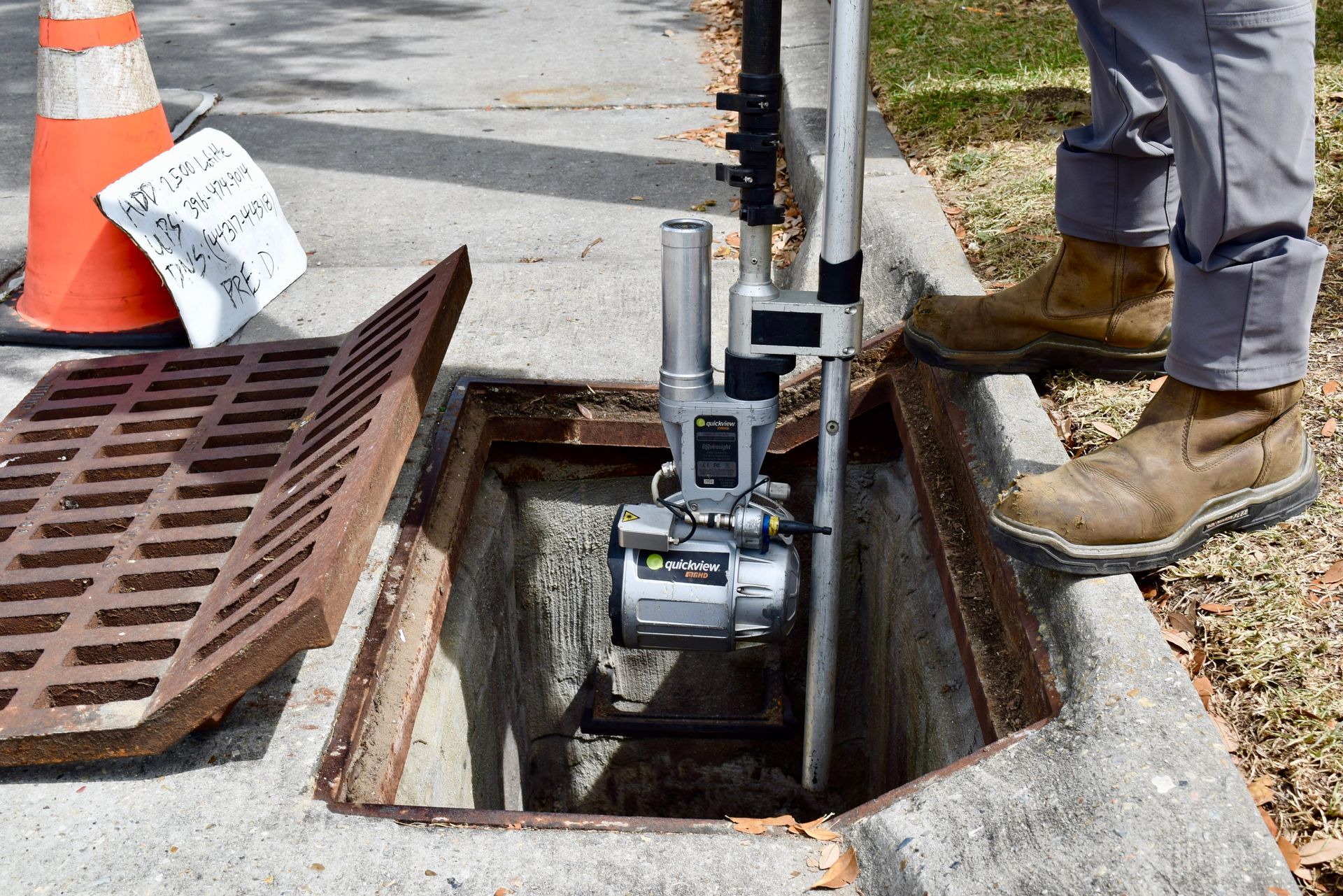
- Manhole inspection data
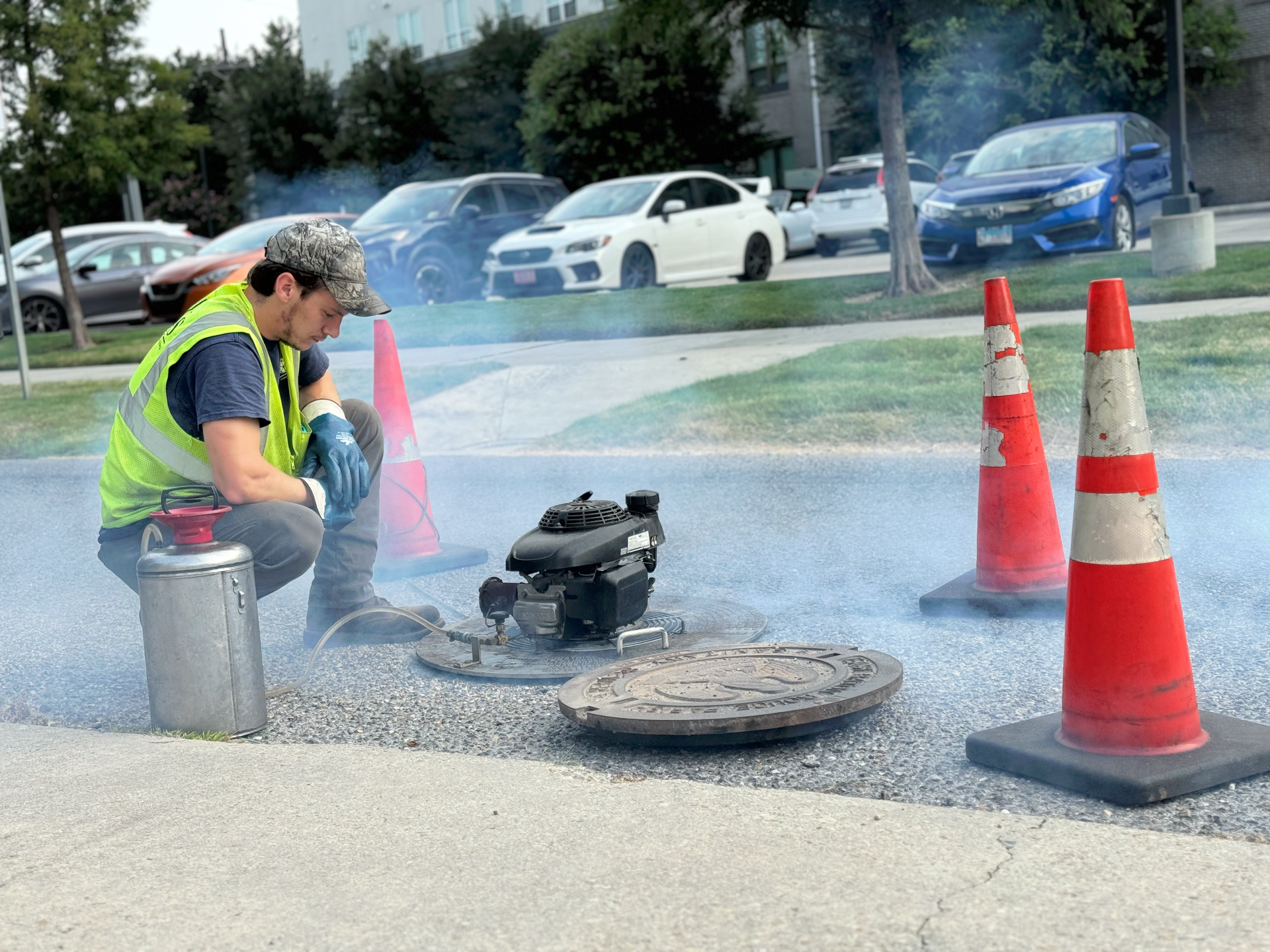
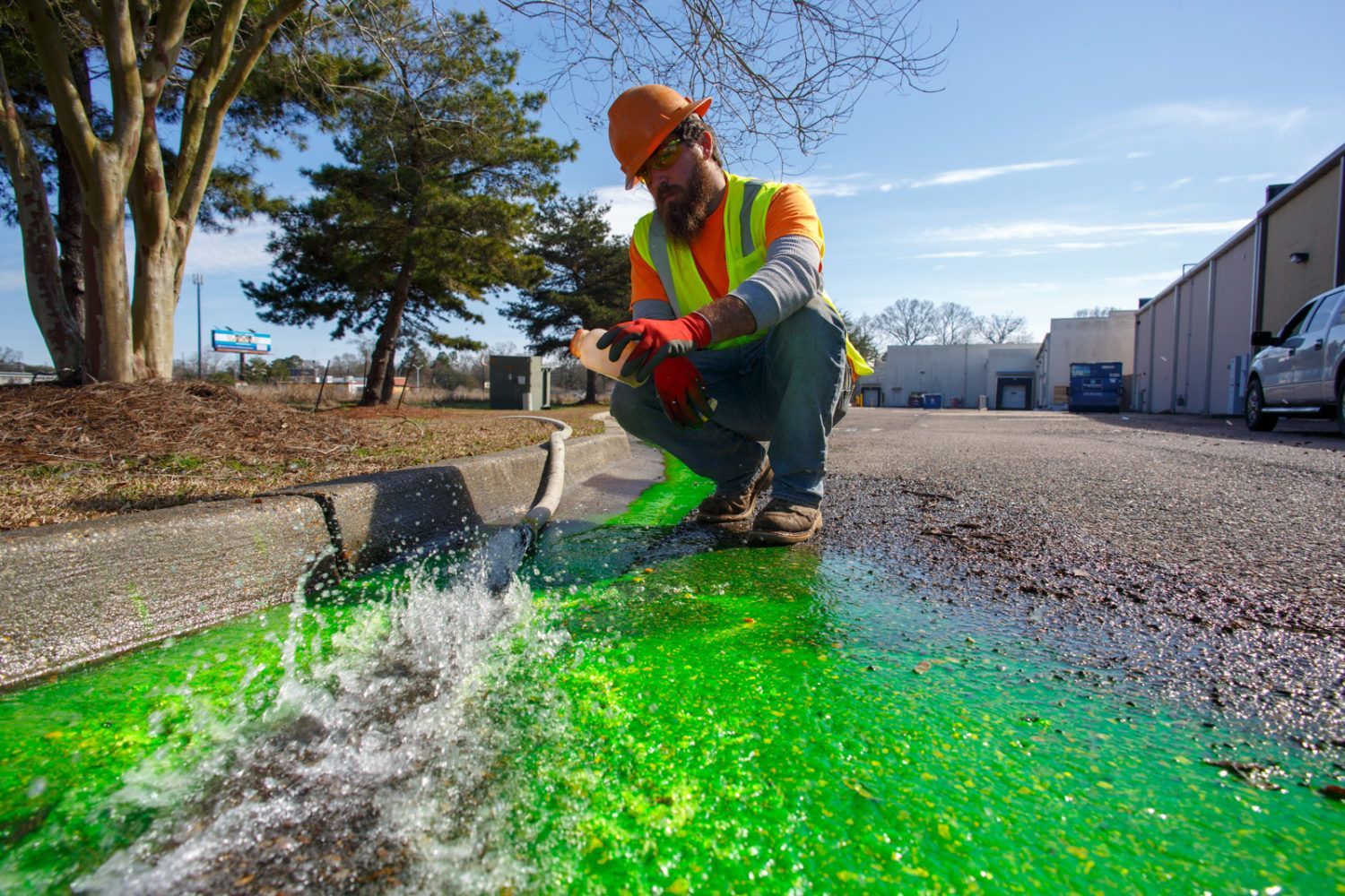
- Smoke test inspection data
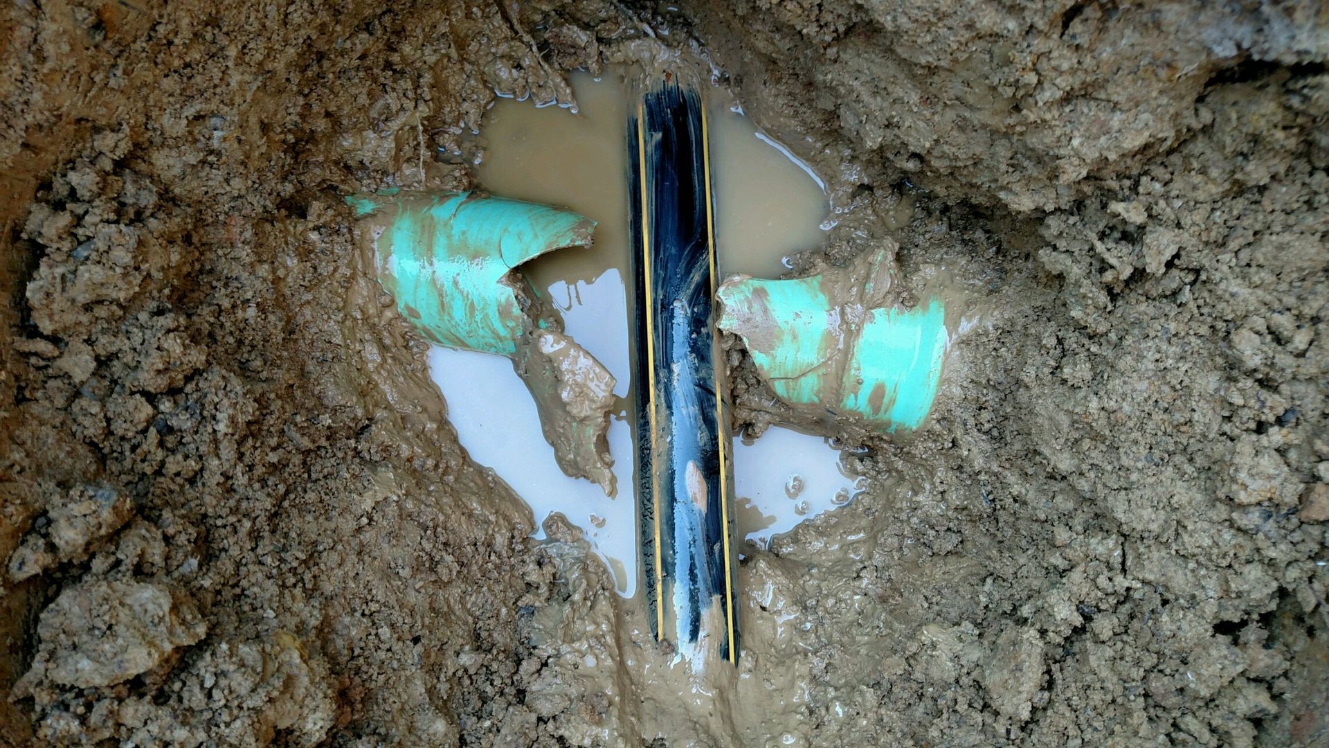
- Areas prioritized for services based on infiltration and inflow (I/I) data
- Rehabilitation recommendations to prioritize efforts
Real-Time Project Tracking
During work, we utilize GIS to track activities, providing clients with access to monitor the project in real-time, if desired. This ensures you are always informed about the status of your sewer system management.
Comprehensive Data Integration
All collected data is reviewed by our data management department for quality control. We attach images from inspections and cleanings directly to corresponding lines and manholes in the GIS, offering a visual and informational resource for our team and clients.
frequently asked questions
What is the difference between GIS and GPS?
The key difference between the two is that GPS tells you where you are while GIS helps you analyze what's there and make decisions based on spatial data. GPS and GIS go hand-in-hand when mapping a sewer system
Why is GIS mapping important?
- GIS mapping helps municipalities manage, analyze, and optimize their infrastructure.
- Provides detailed maps of sewer pipelines, manholes, pumps, and treatment plants.
- Helps identify areas prone to blockages, leaks, and overflows by tracking historical maintenance records, while enabling crews to quickly locate infrastructure and plan efficient routes for repairs.

