-
![]()
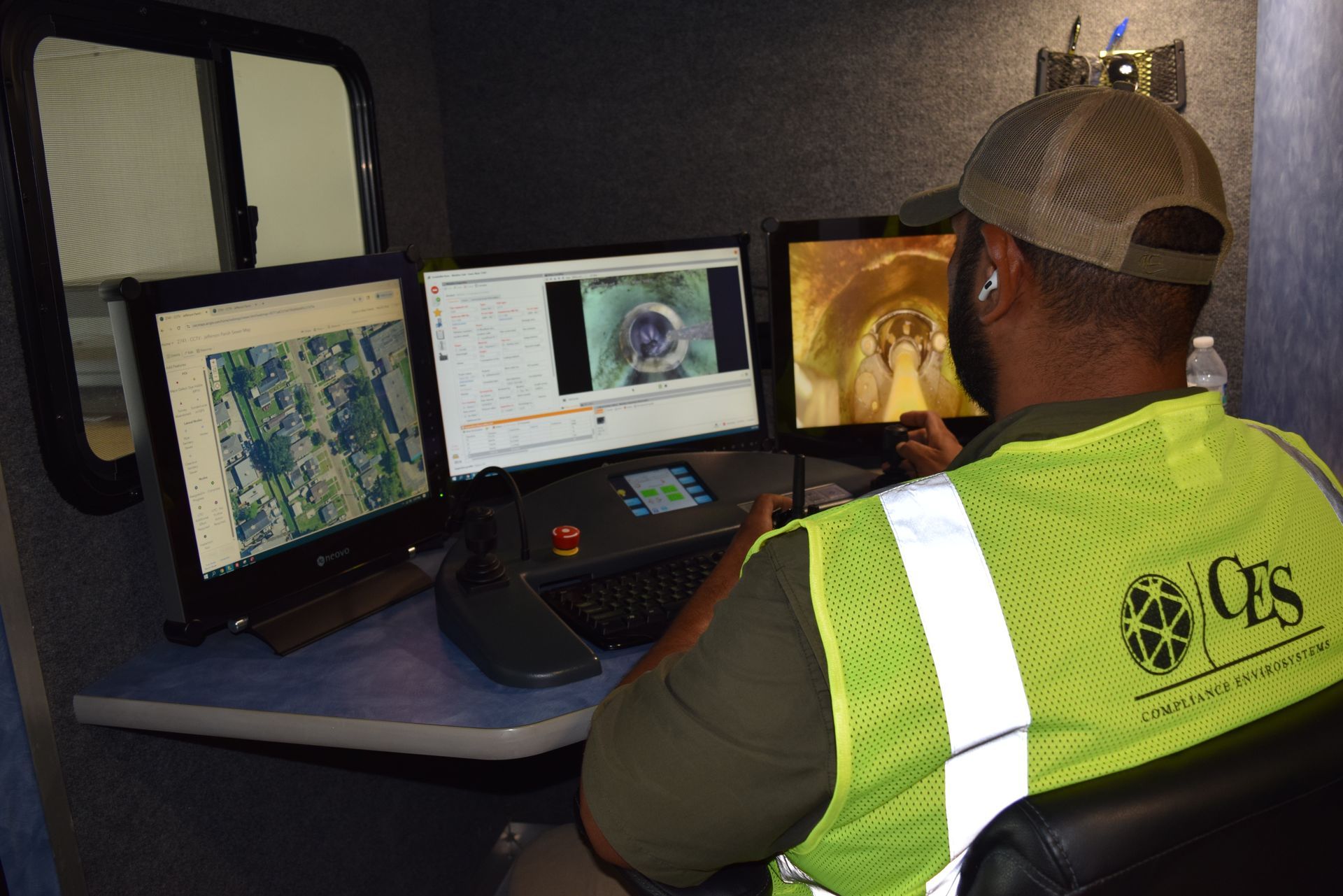
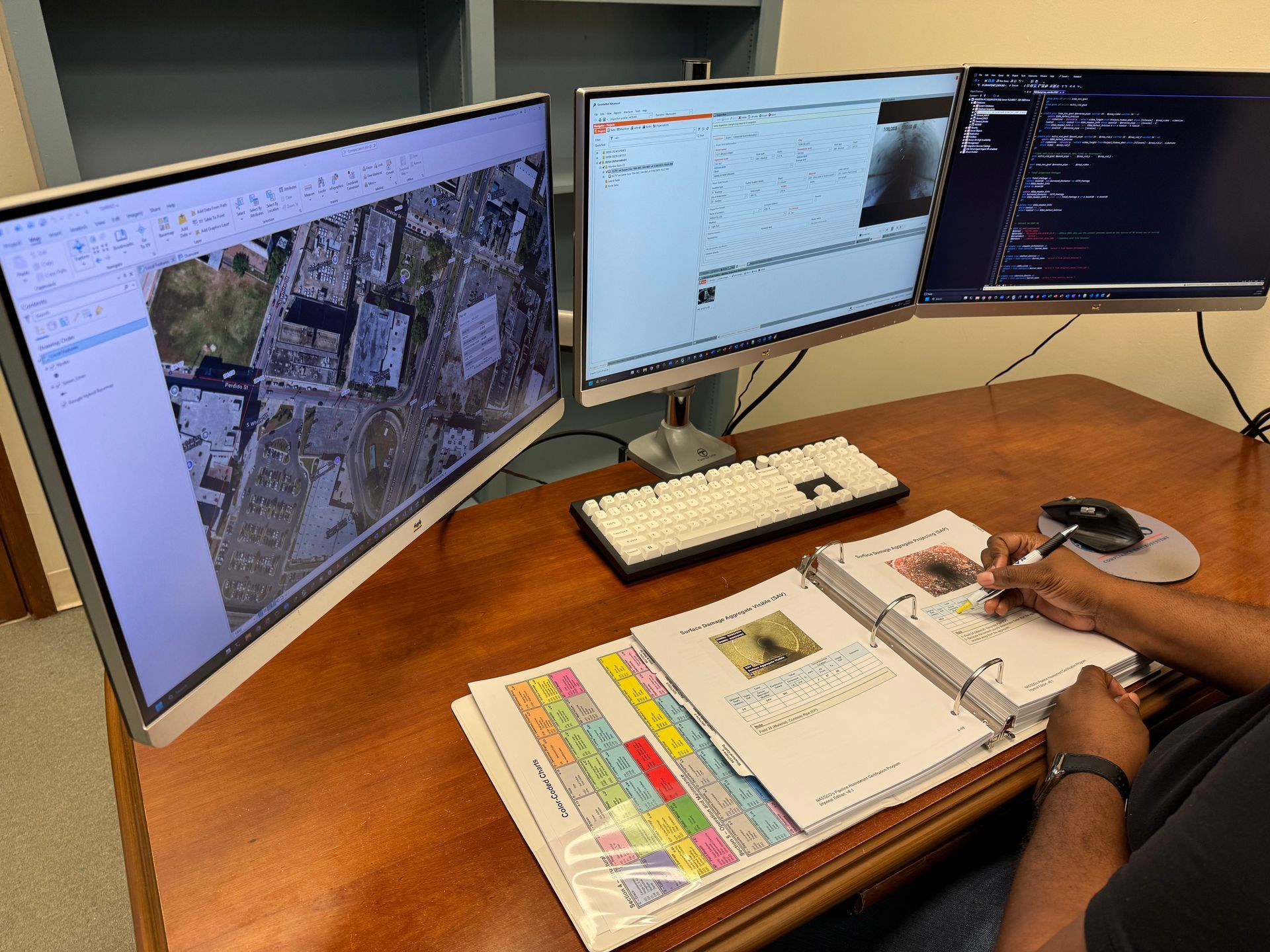
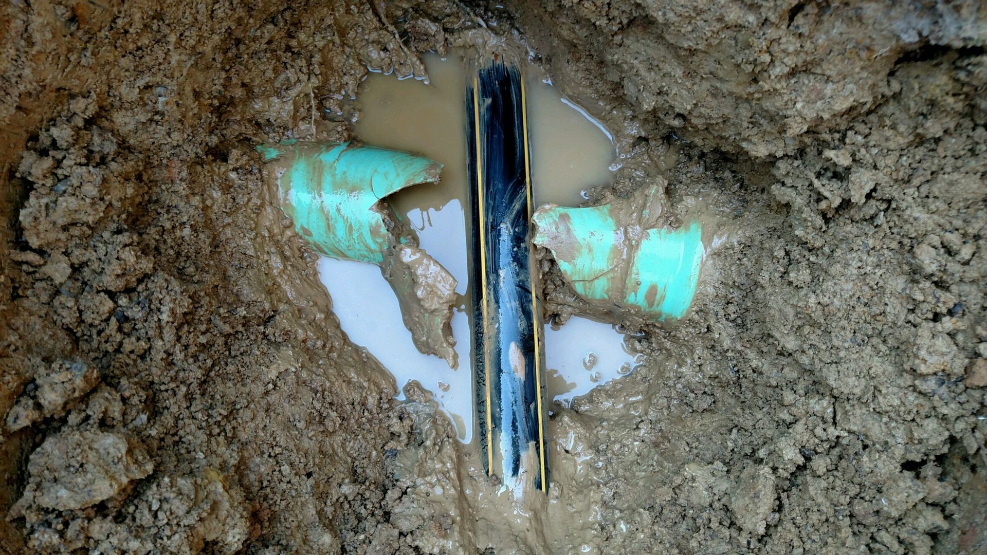
CCTV Inspections
Button -
![]()
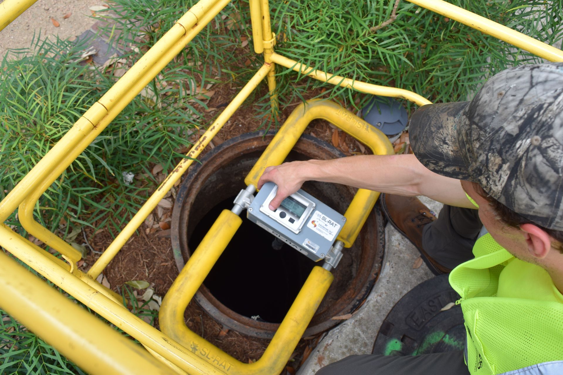
Acoustic Blockage Detection (SL-RAT)
Button -
![]()
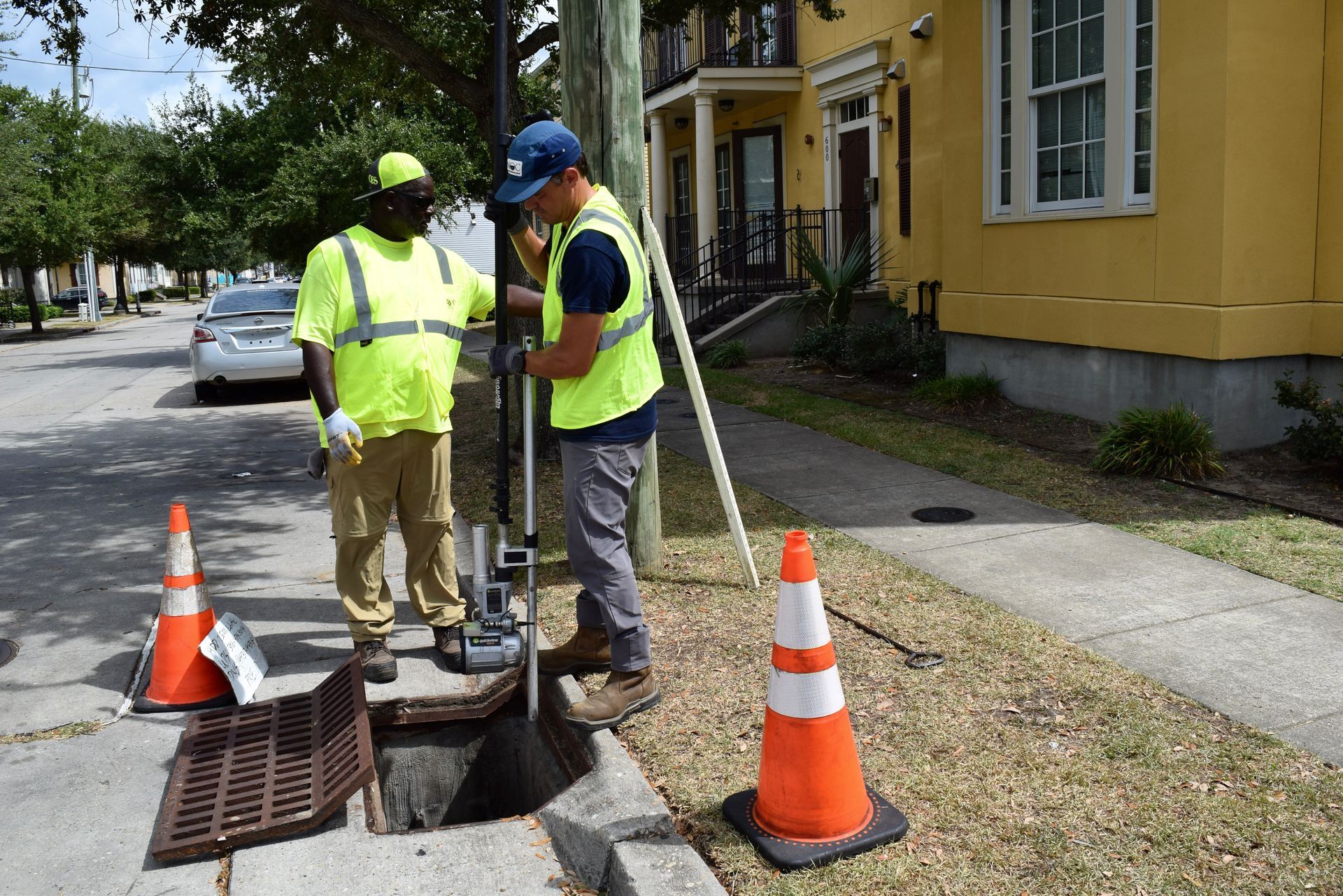
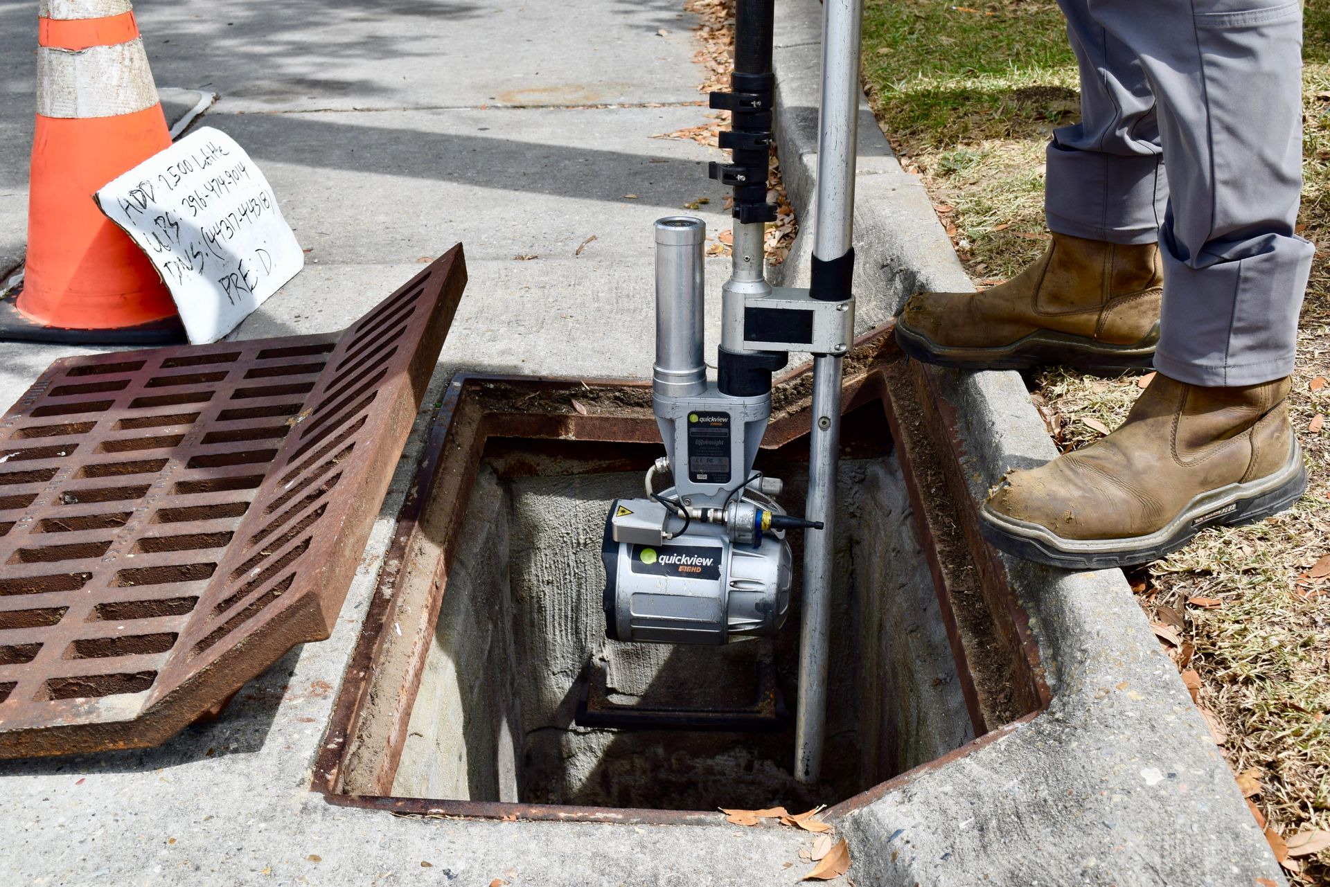
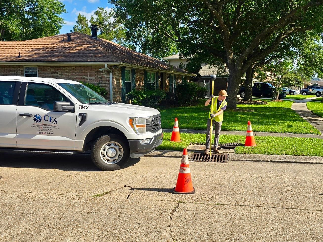
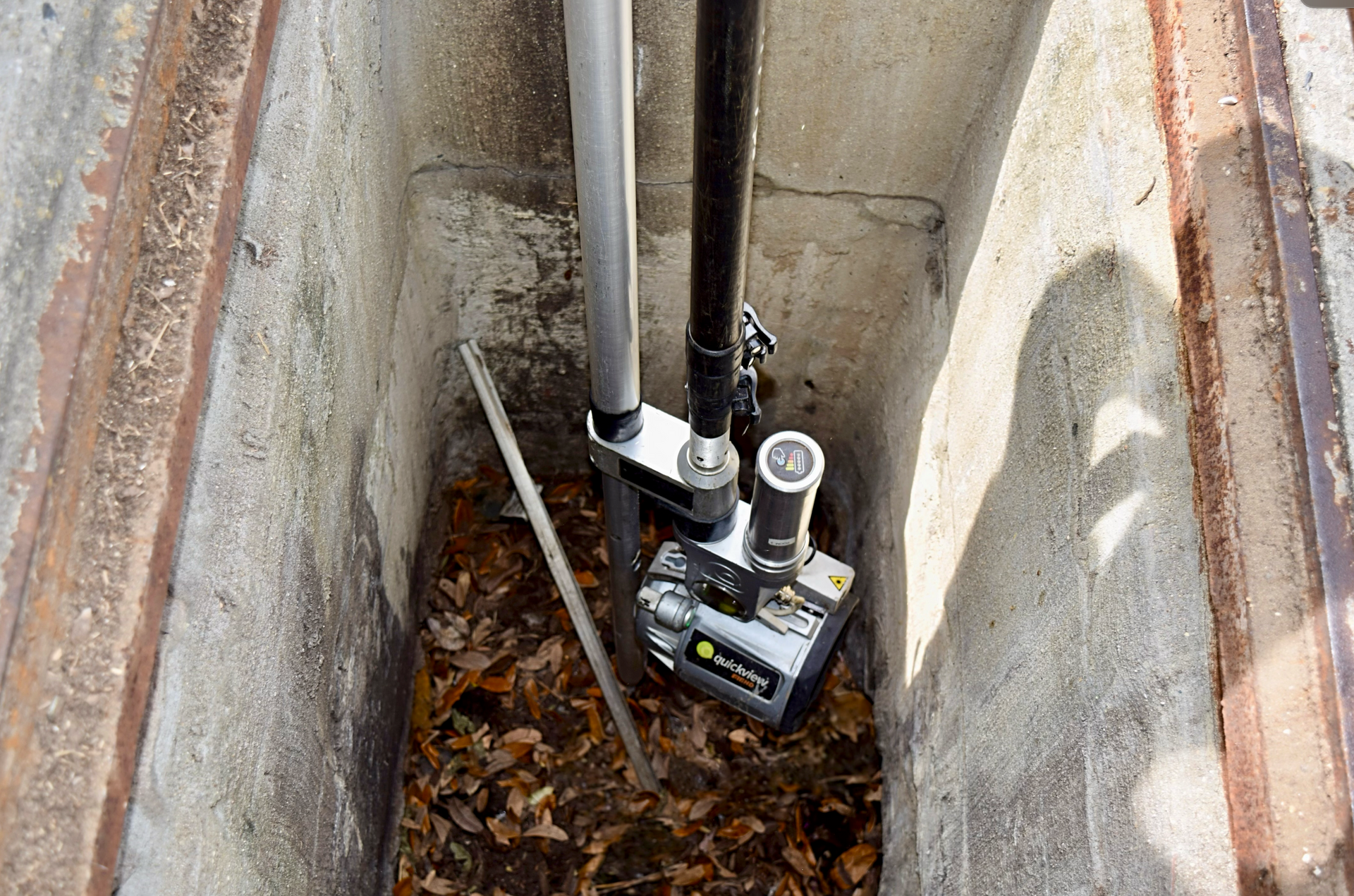
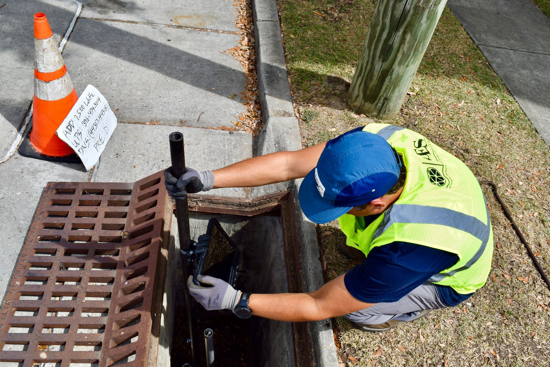
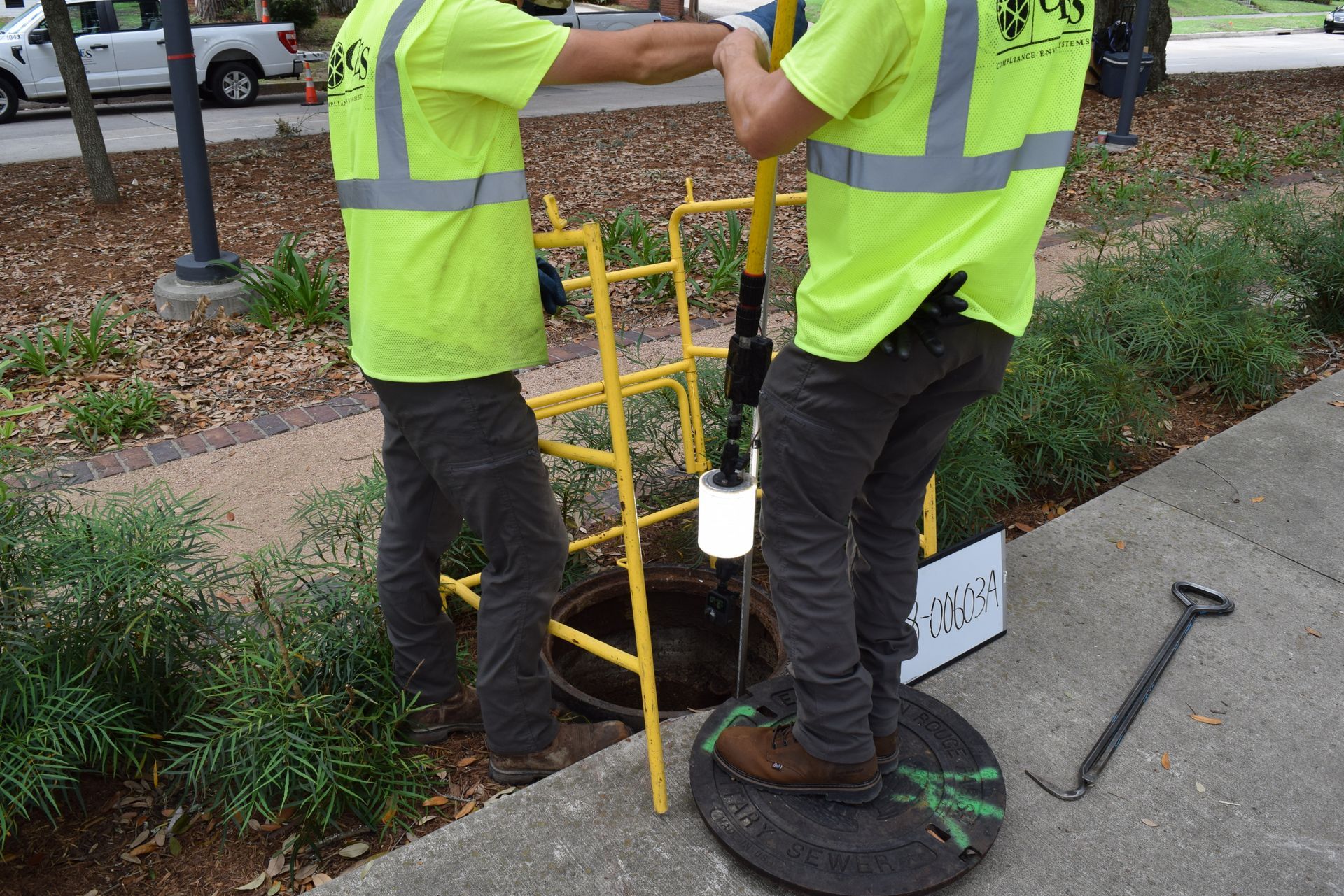
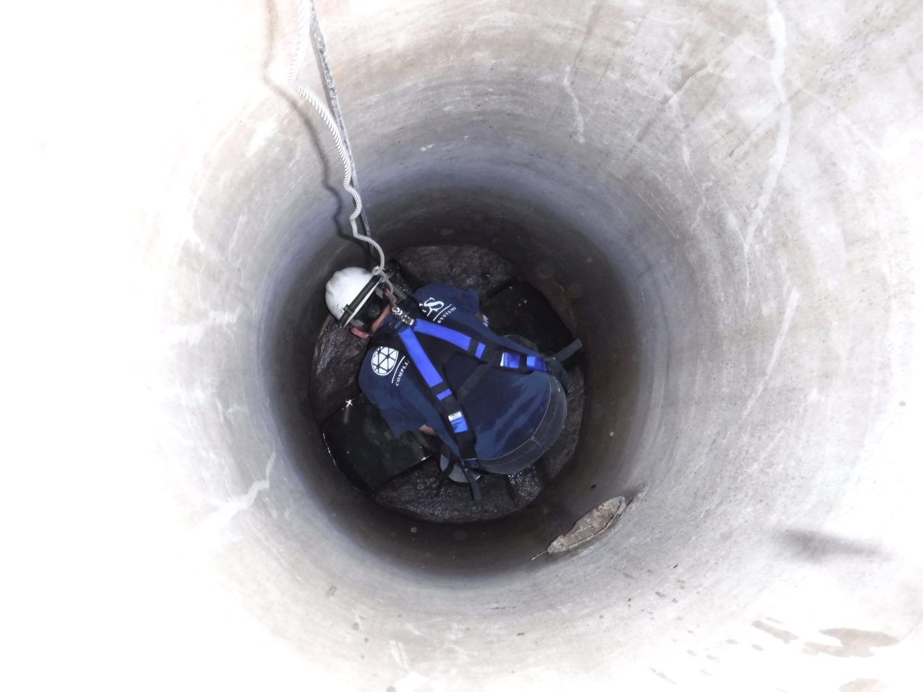
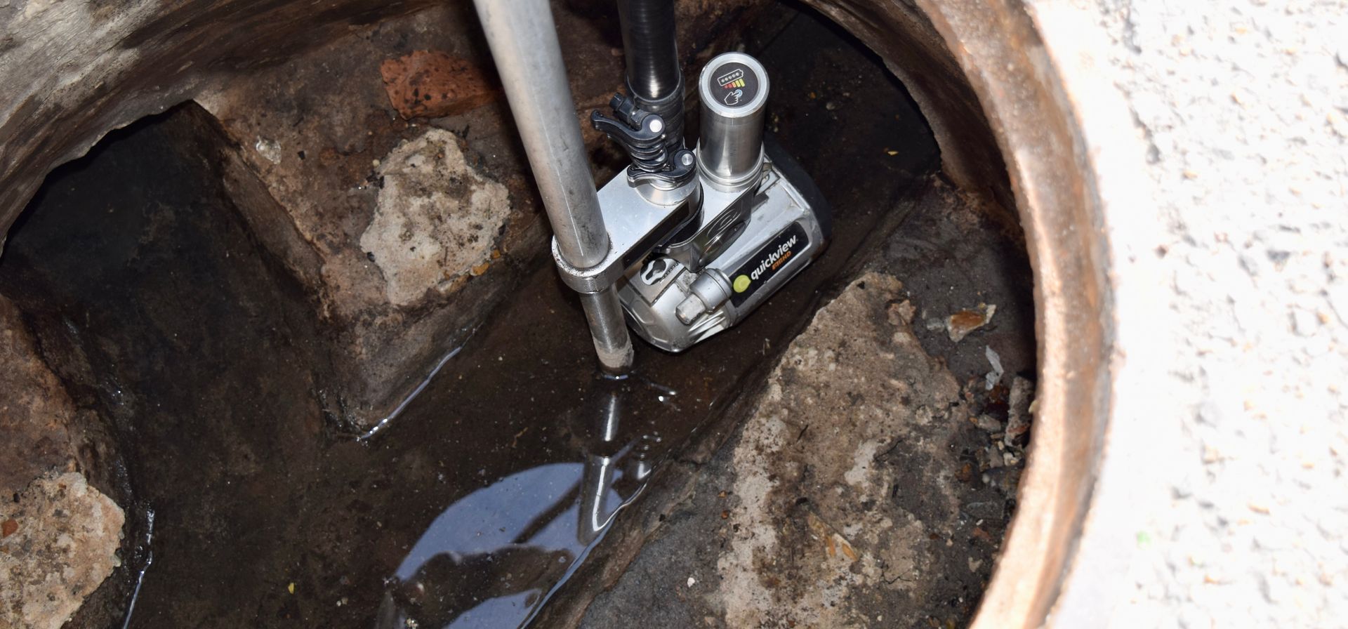
Manhole Inspections
Button -
![]()
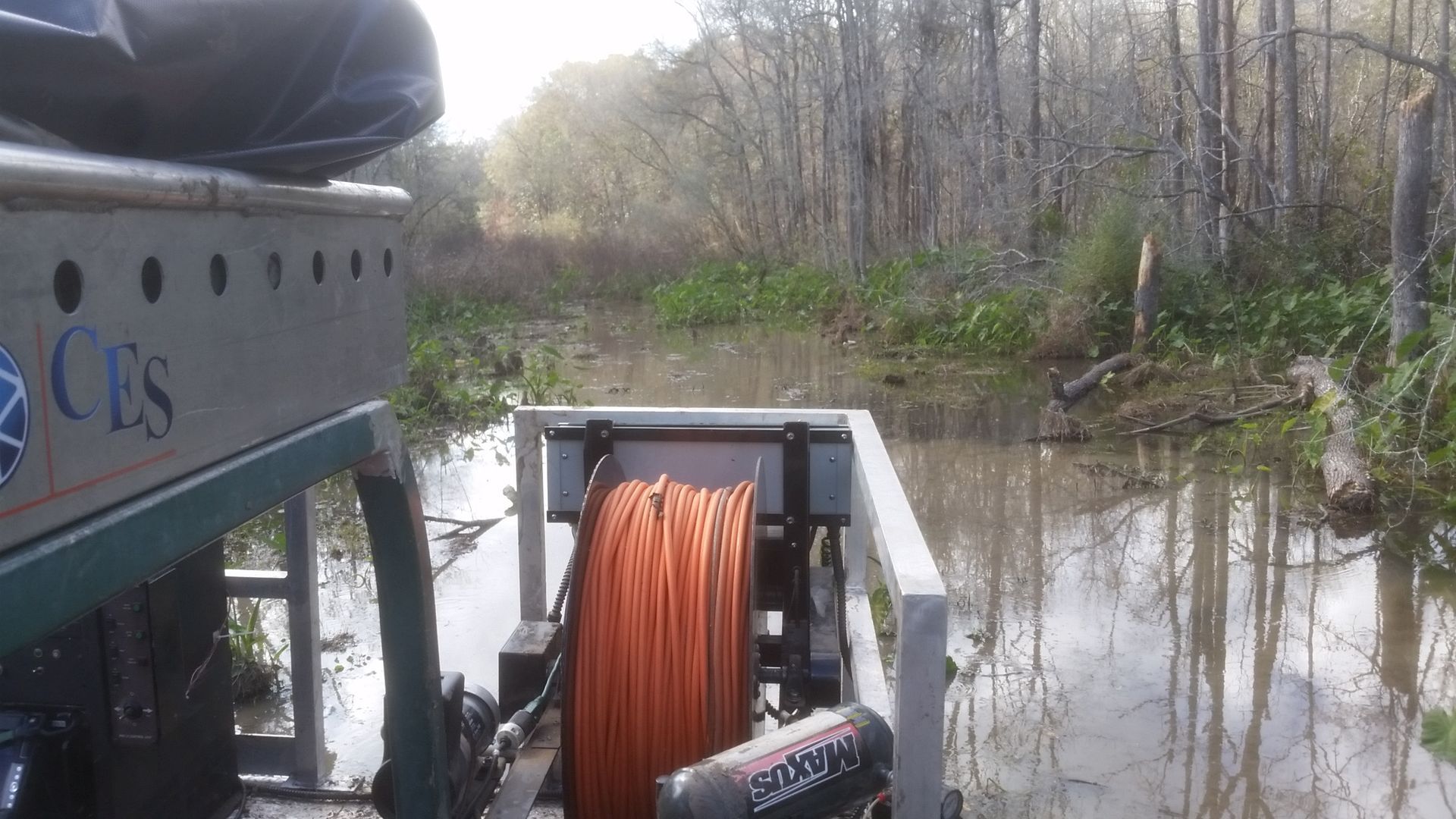
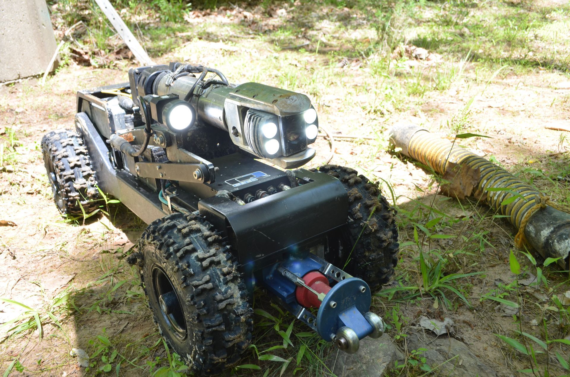
Off-Road Capabilities
Button -
![]()
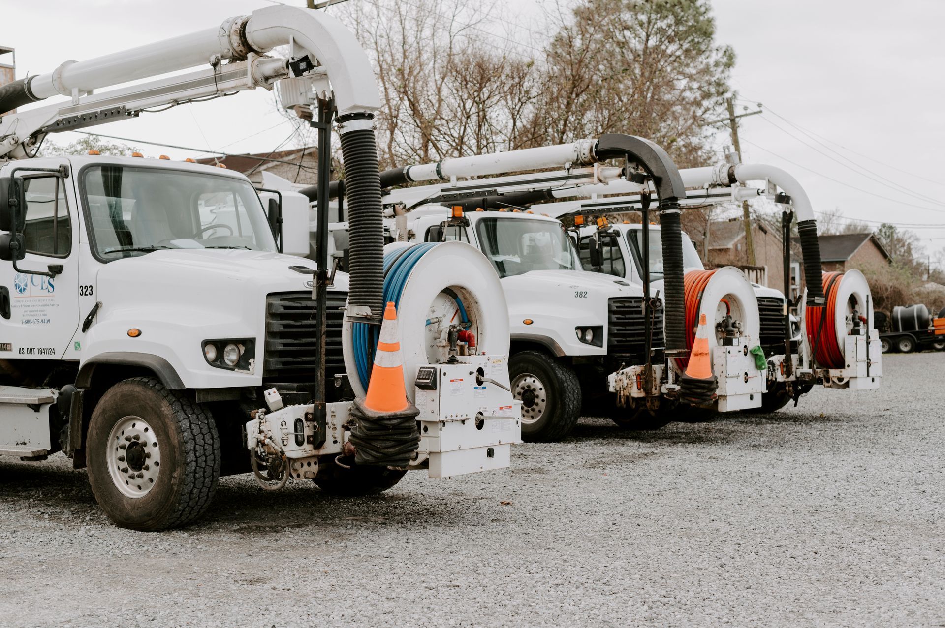
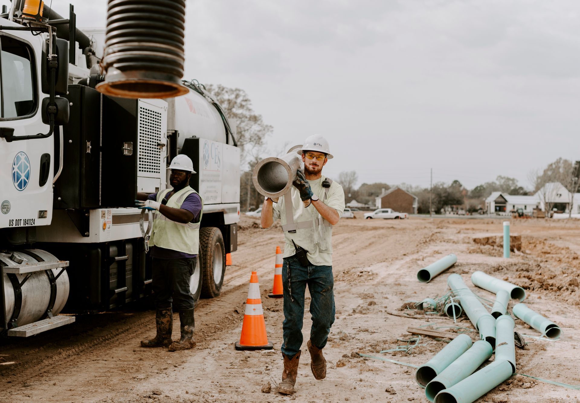
Pipe Cleaning
Button -
![]()
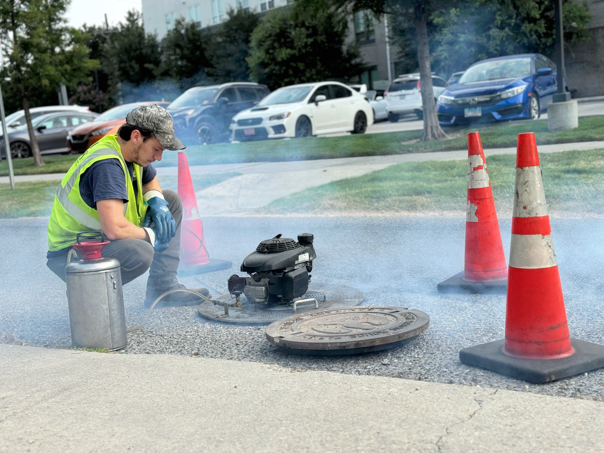
Smoke Testing
Button -
![]()
Large Diameter Sonar + Multi-Sensor Inspections
Button -
![]()
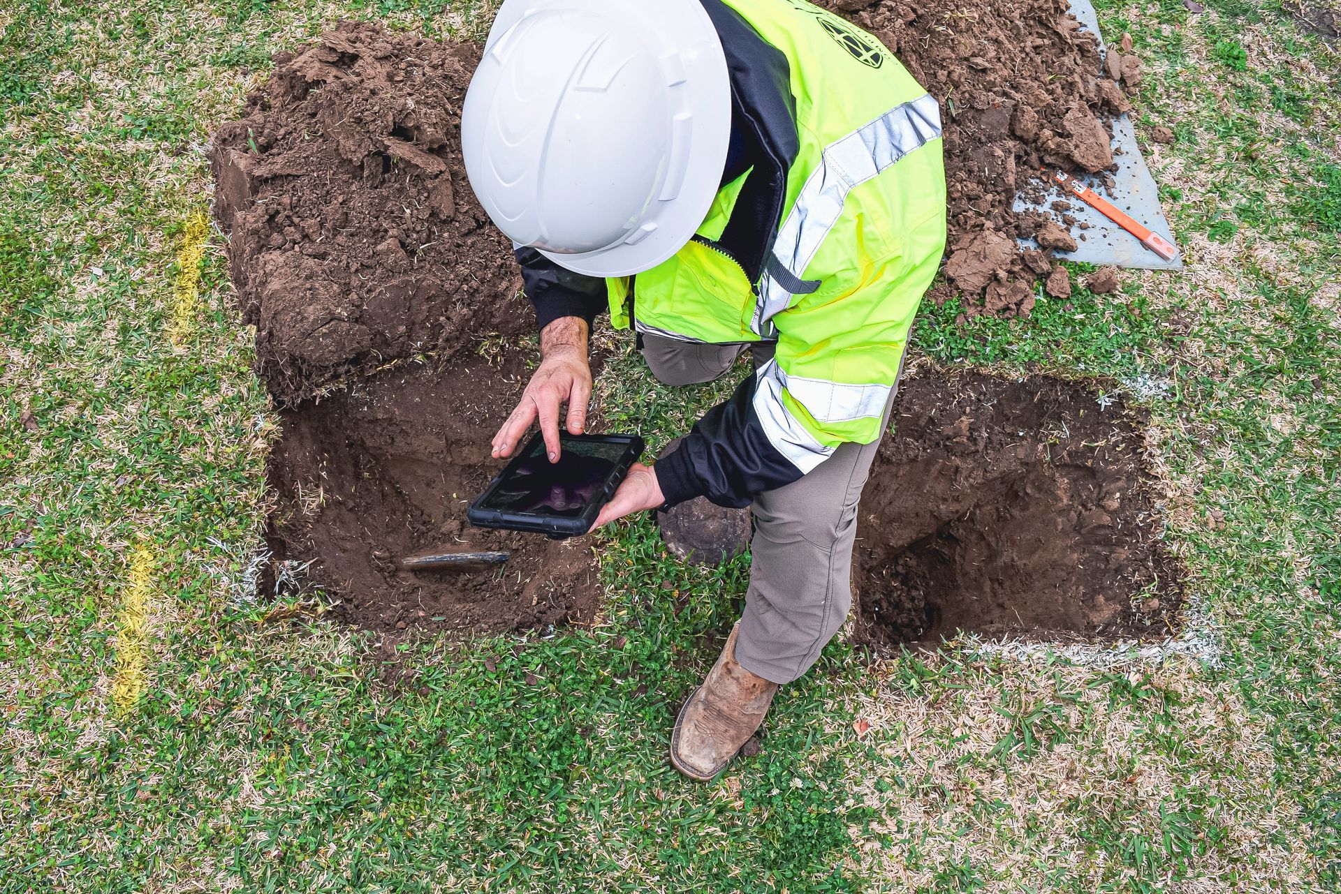
Lead Service Line Inventory (LSLI)
Button -
![]()
Wet Well Cleaning
Button -
![]()
Training + Certifications
Button -
![]()
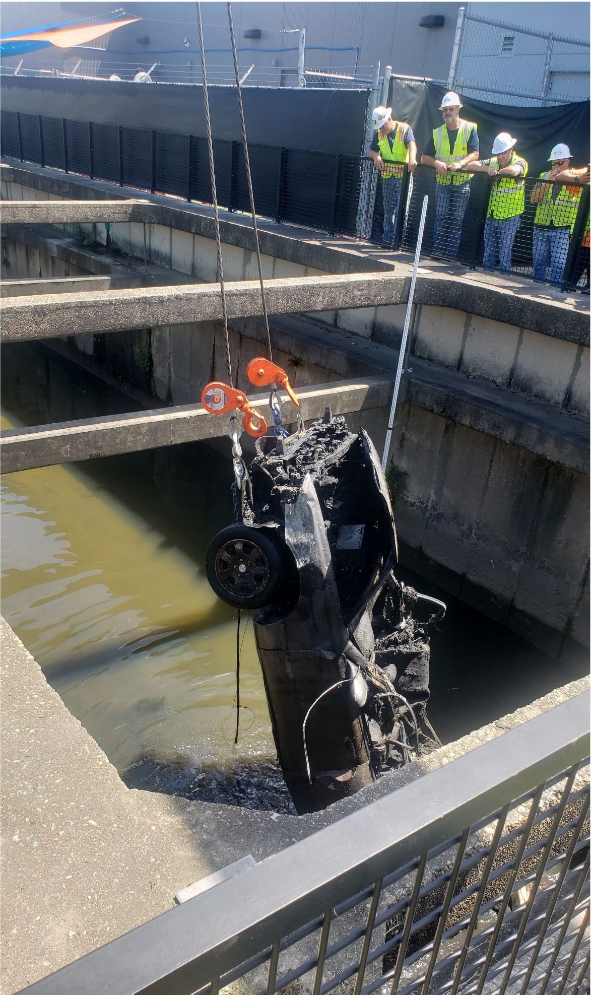
Storm Recovery Services
Button -
![]()
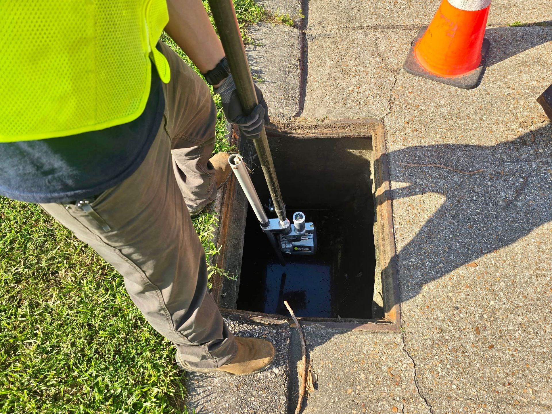
Catch Basin Inspections
Button -
![]()
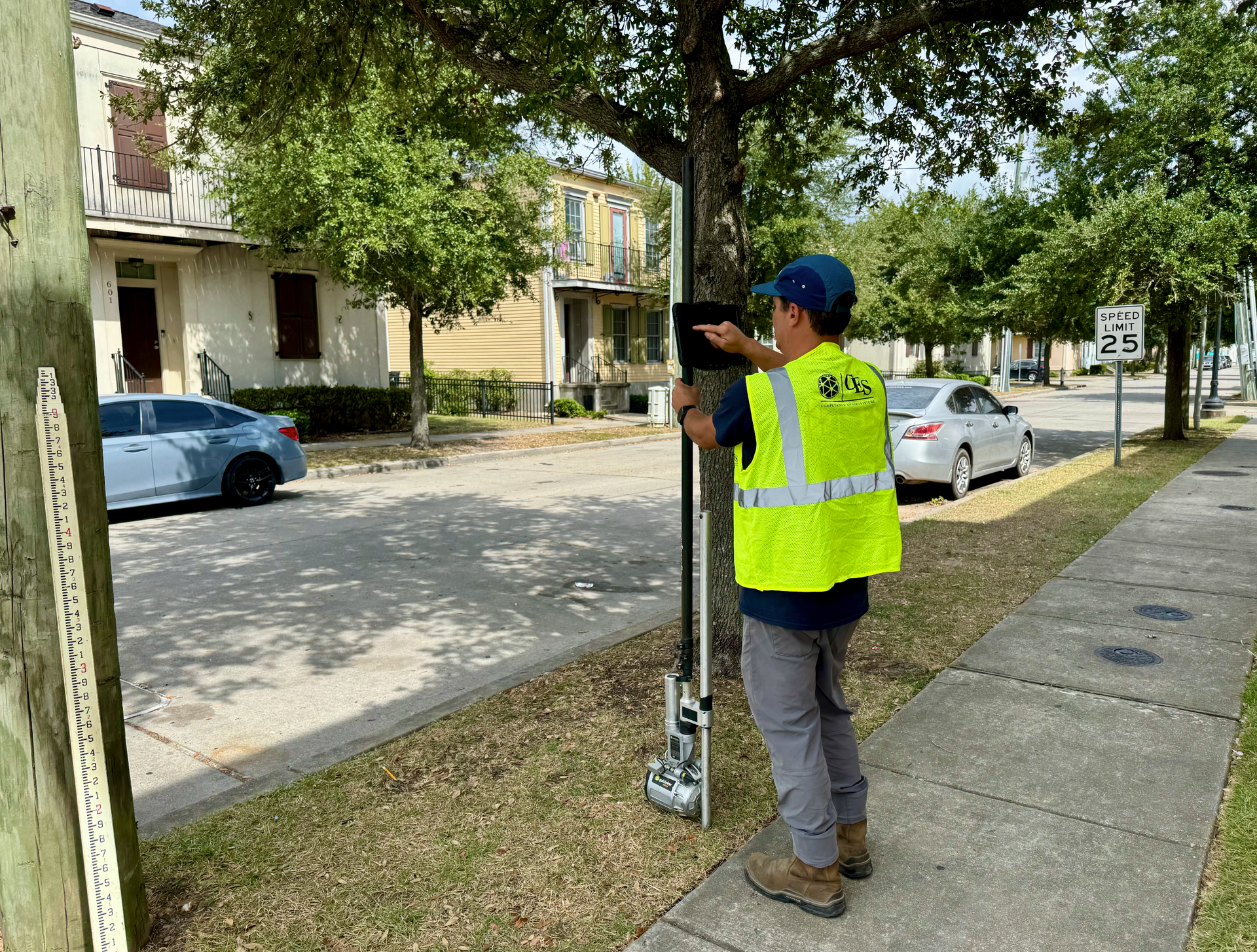
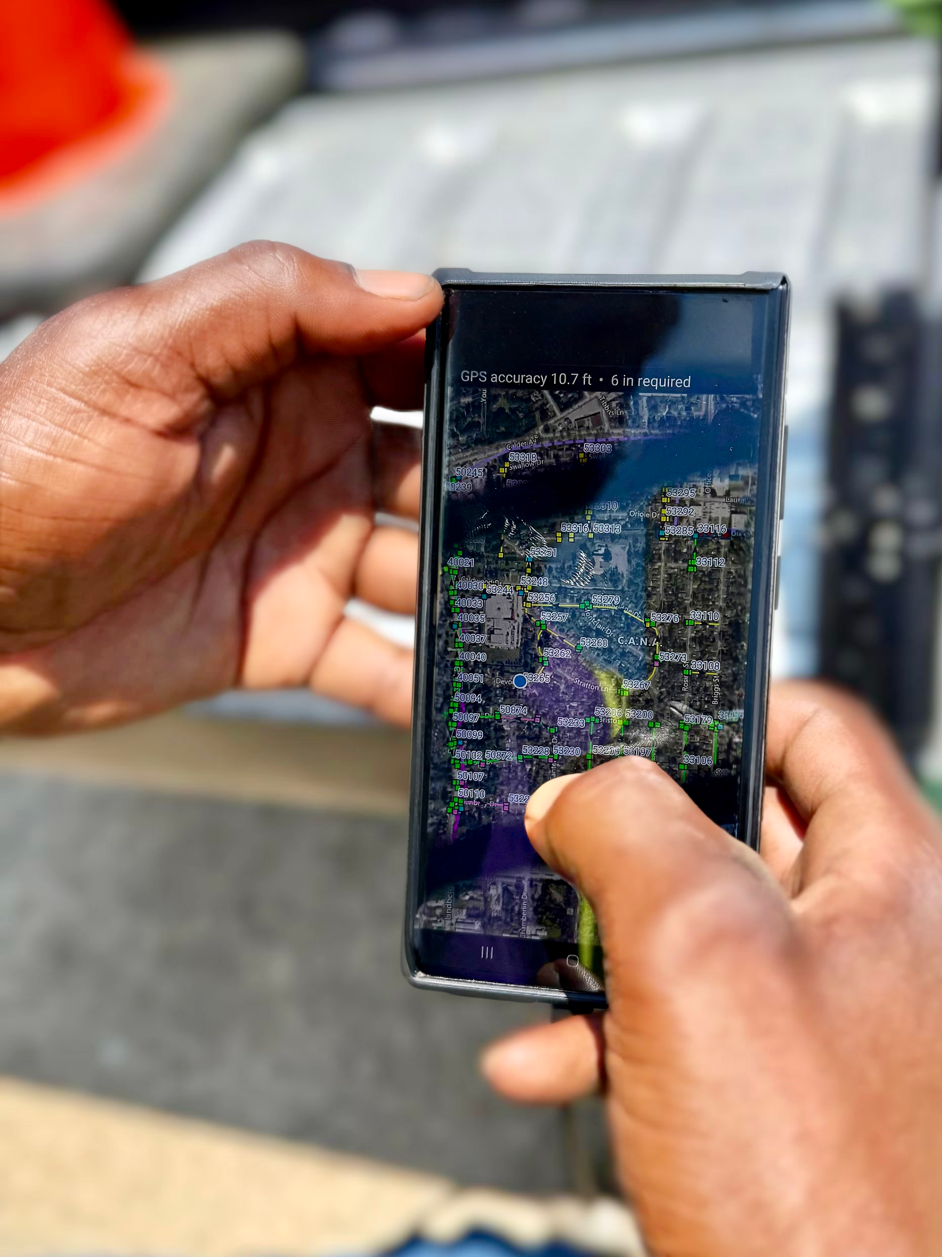
GIS Mapping
Button -
![]()
Flow Monitoring
Button -
![]()
Data Management + Rehab Recommendations
Button -
![]()
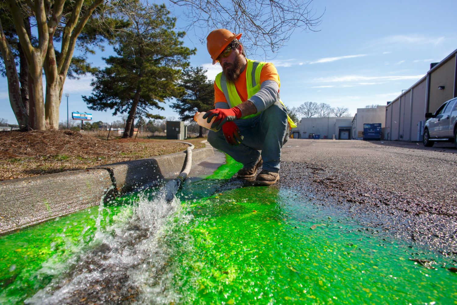
Dye Flood Testing
Button -
![]()
Cross-Bore Inspections
Button -
![]()
Zoom Camera Inspections
Button -
![]()
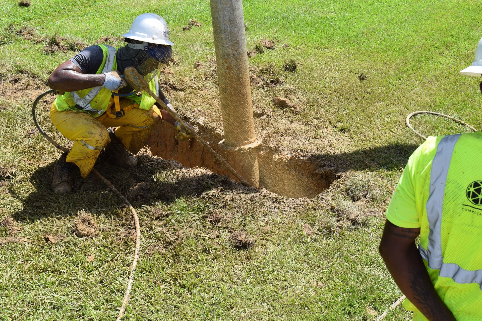
Hydroexcavation
Button


Baton Rouge
7600 Innovation Park Dr., Baton Rouge, LA 70820

Greater New Orleans
8 W. Union Street
Kenner, LA 70062

Shreveport
6903 Westport Ave.
Shreveport, LA 71129
Lafayette
710 Ridge Rd.,
Lafayette, LA 70506

Atlanta
4450 Frederick Dr. SW
Atlanta, GA 30336
Hattiesburg
102 Alcorn Ave
Hattiesburg, MS 39401
Memphis
2040 Channel Ave
Memphis, TN 38106

Little Rock
148 Caurel Cir.
Little Rock, Arkansas 72223

Raleigh
8601 Six Forks Rd., Ste. 400
Raleigh, NC 27615

Jackson (Ridgeland)
215 Industrial Cove
Ridgeland, MS 39157