15 Year Evolution of SSES Data
 CES’s data department processes have evolved tremendously over the past 15 years with ongoing technological advancements, including how we receive, analyze, and process inspections. As the times change, from polaroids and stapled paper forms to the electronic deliverables we provide today, we continue to stay on the cutting edge of technology to grow and adapt to serve our clients better.
Let’s take a look back at how some of our data processing has evolved over the years.
2006 – Paper and VHS Was the Standard – Inspection Software Was Not
CCTV operators printed PACP sewer inspection reports daily for data technicians to analyze; production logs, map edits, preliminary assessments were also handwritten, data technicians reviewed CCTV via VHS, and DVDs were the standard deliverable!
2008 – Reduced the Time to Upload CCTV Inspections From Operating Trucks
We still processed inspection reports on printed paper, but we no longer reviewed CCTV via VHS – we upgraded to USB Flashdrives! Our data team started learning GIS, which we would use two years later to enhance smoke test reports.
2009 – 2010 – Bid Farewell to Paper and DVDs and Said Hello to Recommendation Databases
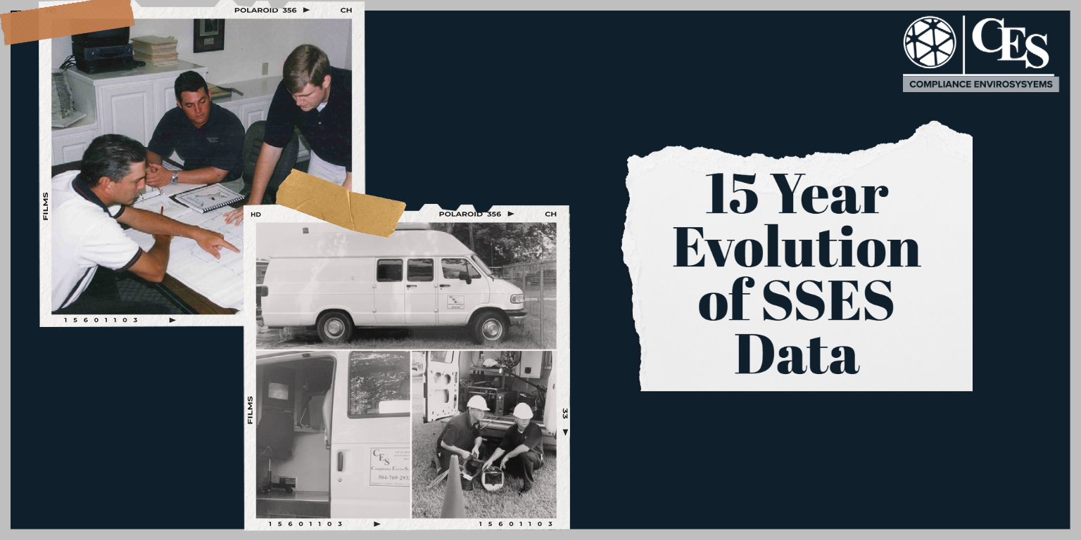 CCTV trucks progressively converted from printers and hard copy inspection reports to PDF files via USB flash drives, and we no longer used DVDs to transfer data! We developed the first generation of all manhole, smoke test, dye test, flow monitoring, and rehab recommendation databases. This allowed for a seamless process of collecting data in the field, transferring it to the office (and merging by project automatically), data review, and report generation. Lastly, GIS became part of our standard toolset!
2011 – 2019 – Immediate Transfer of All Data From the Field to CES’s Data Department
After a successful transition away from hardcopy inspections, the standard for CCTV operators was uploading inspection reports via FTP (online transfers) thanks to Verizon’s rollout of 4G to use mobile data to transfer.
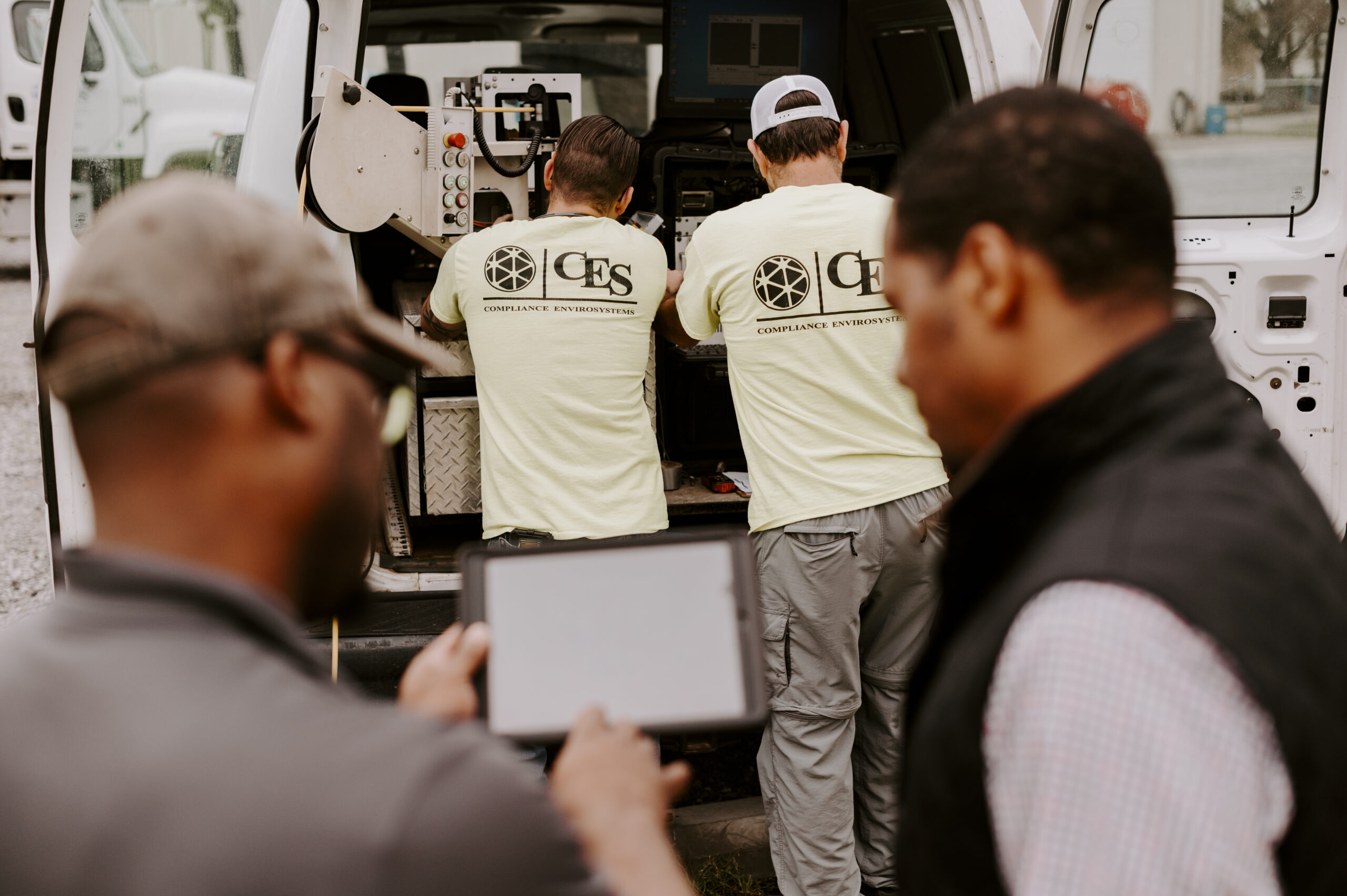
2019 – 2021 – CES’s Data Department Fully Embraces the ArcOnline Platform
The latest technology allows us to use tablets and phones with GIS data hosted in the cloud. CES crews collect points and lines in the field using the ArcGIS Collector and Field Maps apps. The office technicians can see the data in real-time as the GIS points are collected, and the map data points are created.